What is recorded here
The Down Survey map of Kenry barony (1655-56 AD) shows a cluster of small houses in the vicinity of Curraghbridge House. This is a mid-18th century country house. The exact location and nature of the clustered settlement is not known.
Compiled by: Denis Power
Date of Upload: 9 August 2012
The monument record does not grant public access. Check the route and ask the landowner before entering private land.
- What survives
- Recorded monument
Places near here
 Curragh Bridgebridge · 521 yd
 Knockannaholla Grave YardBurial ground · 888 yd
 KnocknagowerNamed rock · 1140 yd
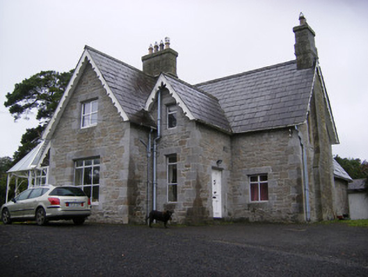 Cregaun Househouse · 1403 yd
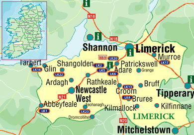 Settlement cluster in Kilcurly (kenry By.)Settlement cluster · 1731 yd
 Adare Tourist OfficeVisitor information · 1.4 mi
 European BeechEuropean Beech · 1.5 mi
 Desmond CastleHeritage attraction · 1.5 mi
 Desmonds Castle (in ruins)Castle, Anglo-Norman masonry castle · 1.5 mi
 Adare Desmond CastleMedieval castle · 1.5 mi
 CastleCastle, tower house · 1.6 mi
 American SweetgumAmerican Sweetgum · 1.9 mi