
What is recorded here
From the National Monuments Service (Archaeological Survey of Ireland) record TS067-100
Places near here
Photo credits
- National Inventory of Architectural Heritage
- Maker not stated on source page, www.travelmanagers.com.au
- Maker not stated on source page, www.tripadvisor.com
- Maker not stated on source page, en.wikipedia.org
- Golfing in Ireland; photographer not stated, Source publisher
- Colin Park, Geograph · CC BY-SA 2.0
- N Chadwick, Geograph · CC BY-SA 2.0
- N Chadwick, Wikimedia Commons · CC BY-SA 2.0
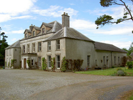 Cordangan ManorCountry house · 138 yd
Explorer Tom Cordangan Manor is being all French chateau about things, with those steep hips and tall stacks sticking out like sore…
 Site of Cordangan CastleCastle, unclassified · 300 yd
Explorer Tom Site of Cordangan Castle is hiding under a thick blanket of angry briars, apparently having a massive family dispute…
 Fairy fort / earthen ringfort in RathannyFairy fort / earthen ringfort · 1.0 mi
Explorer Tom Fairy fort / earthen ringfort in Rathanny is listening to the river Ara gossip about its neighbors through its thick…
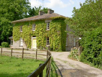 Wolfsden HouseHouse · 1.1 mi
Explorer Tom Wolfsden House in Clashavickteery was built on a bargain that probably involved a goat and a promise of classical…
 Fairy fort / earthen ringfort in CorrogebegFairy fort / earthen ringfort · 1.1 mi
Explorer Tom The local sheep think this fairy fort is just a slightly fancy scratching post for their backs. They’d give it two…
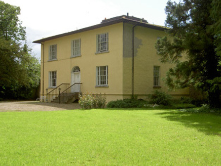 Brookville HouseHouse · 1.1 mi
Explorer Tom Brookville House has tripartite windows that look like they’re trying to be fancy but are actually just very organized.…
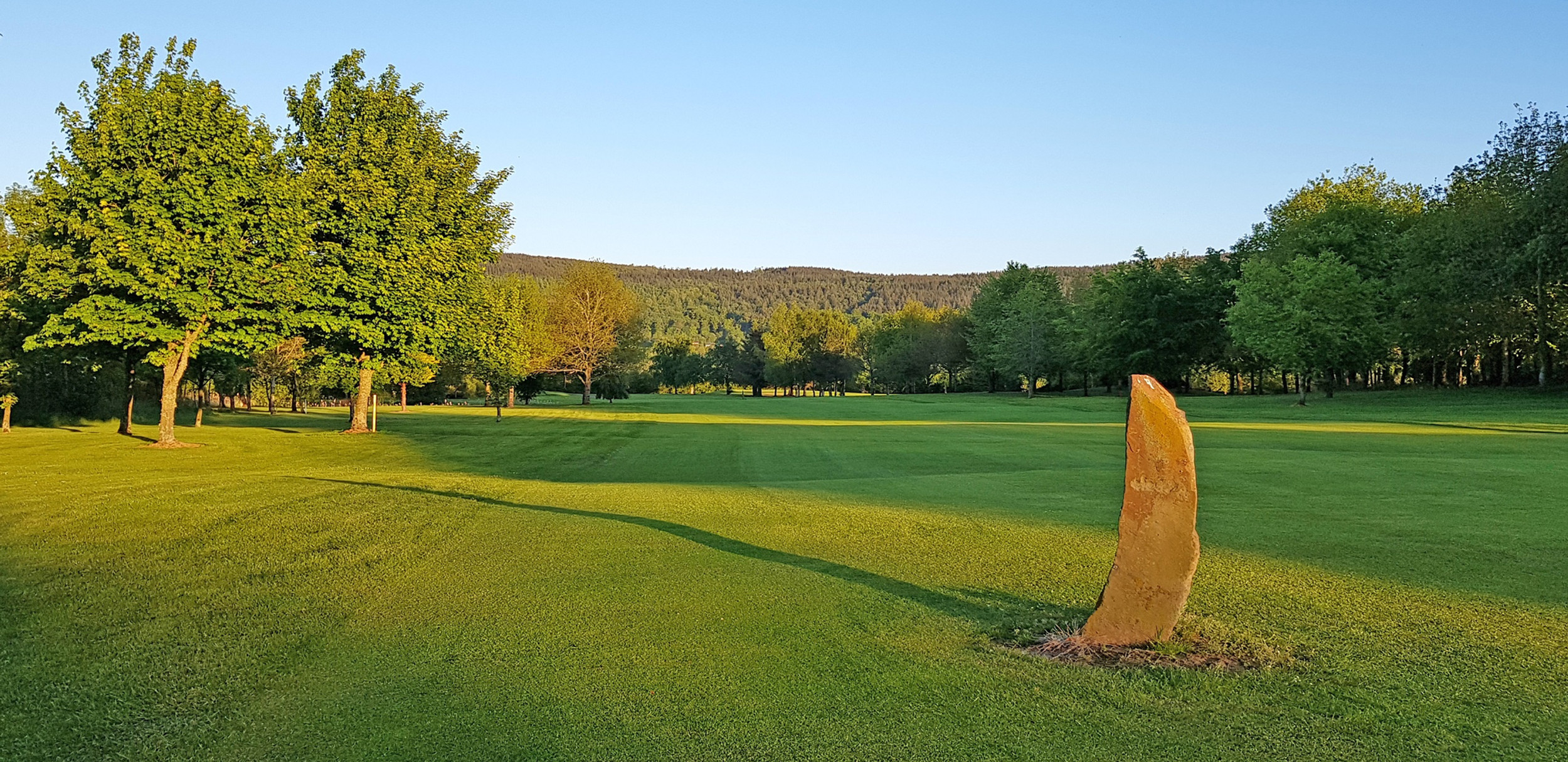 Tipperary Golf ClubGolf course · 1.1 mi
 The RockViewpoint · 1.2 mi
Explorer Tom The Rock in County Tipperary is probably where the map makers got it wrong because they were too scared to draw a line…
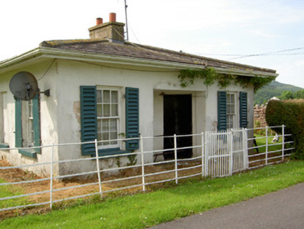 ArraghsleaGate lodge · 1.2 mi
Explorer Tom Arraghslea’s gate lodge has a curved door that looks like it’s trying to smile but mostly just looks confused about its…
 Breansha Castle (in ruins)Castle, unclassified · 1.7 mi
Explorer Tom Breansha Castle has had more names than a pop star, changing them every time someone new bought it. Only one wall is…
 Christ the KingViewpoint · 1.9 mi
Explorer Tom Christ the King has a hidden treasure that is definitely just an old biscuit tin filled with broken buttons, but…
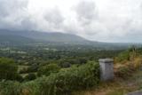 Glen of AherlowViewpoint · 2.0 mi
Explorer Tom Glen of Aherlow is where the seagulls hold their weekly meetings to complain about the weather. The view from here…
More archaeology and monuments in County Tipperary · All of County Tipperary

What do you know about this place?Tap to add a comment or ask a question