
What is recorded here
From the National Monuments Service (Archaeological Survey of Ireland) record LI005-045002
Places near here
Photo credits
- Maker not stated on source page, www.pinterest.com
- Na Piarsaigh GAA Limerick (official club facilities page publisher); individual photographer not named, napiarsaighgaa.com
- National Inventory of Architectural Heritage
- Maker not stated on source page, de.wikipedia.org
- Keith Wiseman / Limerick City and County Council, Source publisher
- Aidanpryan, Wikimedia Commons · CC BY-SA 4.0
 CastleCastle, unclassified · 1 yd
Explorer Tom Castle in Clondrinagh has a least favourite visitor: you, if you show up without wellies. It’s hiding near Pigeon Hill…
 Páirc na PiarsaighGAA ground · 1095 yd
 Meelick BridgeBridge · 1215 yd
Explorer Tom Meelick Bridge has a superstition locals swear by: if you don’t tip your hat to it, you’ll lose your keys. It’s solidly…
 Standing stone in BullsfarmStanding stone · 1.1 mi
Explorer Tom Standing stone in Bullsfarm is probably just a very committed tourist who forgot to leave. The record says nothing, so…
 Tus Gaelic GroundsGAA ground · 1.2 mi
Explorer Tom At the TUS Gaelic Grounds, Limerick hurling can make a sliotar vanish into the sky and return it with a county's hopes…
 CragfieldHouse · 1.3 mi
Explorer Tom Cragfield in Limerick is throwing a massive 1930s party where the middle class are finally feeling fancy. Rumor has it…
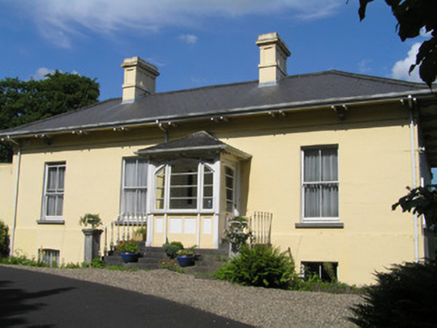 OrelandHouse · 1.3 mi
Explorer Tom Oreland would tell the place that replaced it: 'You may have modern plumbing, but you lack my gate lodge's soul.' It’s…
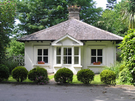 Villiers SchoolGate lodge · 1.4 mi
Explorer Tom Villiers School gate lodge looks like it forgot it used to be a fancy entrance and just started selling school…
 Catholic Church of Saint John the BaptistChurch/chapel · 1.5 mi
Explorer Tom Catholic Church of Saint John the Baptist in Stonepark is hiding in plain sight, which is annoying because I can’t find…
 milestone/milepost1.5 mi
Explorer Tom This Milestone or milepost in Limerick Municipal Borough marks where a poet fell in a ditch and wrote a bad sonnet…
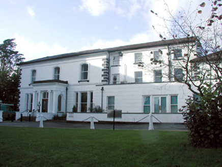 Ardhu HouseHouse · 1.5 mi
Explorer Tom Ardhu House would tell a job interviewer that it cost £4,500 in 1900 and still has more style than their entire office…
 Cratloekeel CastleCastle, tower house · 1.8 mi
Explorer Tom Cratloekeel Castle in Cratloekeel is a tower house with no real details other than 'see attached document,' which is…
More archaeology and monuments in County Limerick · All of County Limerick

What do you know about this place?Tap to add a comment or ask a question