
What is recorded here
A place called Sráidín, or little street, at Carrigroe (Power 1952, 415) could be interpreted as a village. It remains unlocated.
Power, Rev. P. (1952) The placenames of the Decies. (second ed.) Cork University Press.
Compiled by: Michael Moore
Date of upload: 06 January 2011
The monument record does not grant public access. Check the route and ask the landowner before entering private land.
- What survives
- Recorded monument
Places near here
 Enclosure in KnockeenEnclosure · 953 yd
 DolmenPortal tomb · 1076 yd
 Sugar Loaf RockMountain / peak · 1258 yd
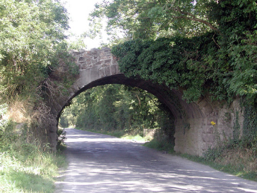 Historic buildingOfficially recorded historic building · 1726 yd
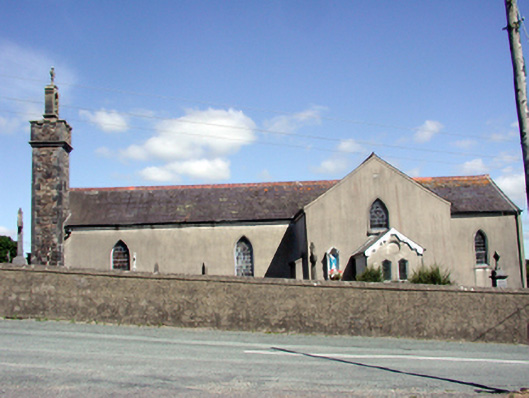 Catholic Church of the Nativity of the Blessed Virgin Marychurch/chapel · 1.2 mi
 Cullen Castle (in ruins)Castle, tower house · 2.0 mi
 Mote or TumulusCastle, motte · 2.6 mi
 Mount Congreve GardensHeritage attraction · 2.9 mi
 Monterey CypressMonterey Cypress · 3.2 mi
 Sweet micheliaSweet michelia · 3.2 mi
 Tourist InformationVisitor information · 3.9 mi
 Tramore Dunes WalkWalking route · 4.1 mi
Other information
Photo: Credit not shown in the picture search · Rights wording not checked; contact us if this picture should be removed