
What is recorded here
Situated on a S-facing slope, just below rock outcrop to the N. The collapsed Man-made underground passage (WA017-097002-) was associated with slight traces of a 'lios' (P. 1894-5; Anon. 1912, 279). It is not visible at ground level in pasture.
Anon. (1912) Proceedings - Waterford historical sketch, JRSAI 42, 256-83.
P. (1894-5) Notes and queries - Interesting discovery of bee-hive chambers. WAJ 1, 230-32.
The above description is derived from the published 'Archaeological Inventory of County Waterford' (Dublin: Stationery Office, 1999). In certain instances the entries have been revised and updated in the light of recent research.
Compiled by: Michael Moore
Date of upload: 07 January 2011
The monument record does not grant public access. Check the route and ask the landowner before entering private land.
- What survives
- Recorded monument
Places near here
 DolmenPortal tomb · 226 yd
 Knockeen Portal TombArchaeological place · 228 yd
 Sugar Loaf RockMountain / peak · 836 yd
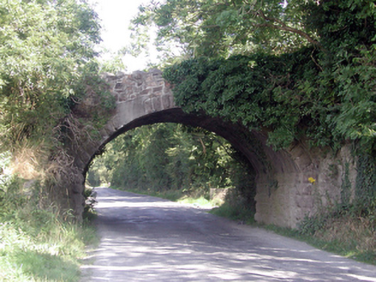 Historic buildingOfficially recorded historic building · 1.3 mi
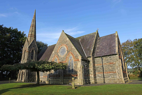 St, Brigets Church (in ruins)Church · 1.3 mi
 Cullen Castle (in ruins)Castle, tower house · 1.5 mi
 Mote or TumulusCastle, motte · 2.4 mi
 Mount Congreve GardensHeritage attraction · 3.1 mi
 Monterey CypressMonterey Cypress · 3.4 mi
 Tourist InformationVisitor information · 3.4 mi
 Sweet micheliaSweet michelia · 3.4 mi
 Doneraile WalkWalking route · 3.6 mi
Other information
Photo: Credit not shown in the picture search · Rights wording not checked; contact us if this picture should be removed