
What is recorded here
From the National Monuments Service (Archaeological Survey of Ireland) record WA016-089
Places near here
Photo credits
- Maker not stated on source page, www.pinterest.com
- National Inventory of Architectural Heritage
- Maker not stated on source page, visionsofthepastblog.com
- Dunhill GAA Club and Sports Centre; individual photographer uncredited, dunhillgaasc.ie
- Kieran Campbell, Wikimedia Commons · CC BY-SA 2.0
- Maker not stated on source page, www.wikidata.org
- Brendan Tobin, Wikimedia Commons · CC BY-SA 4.0
- Jamie O’Keeffe / Copper Post, Fenor GAA section, copper-post.beehiiv.com
- John M, Geograph · CC BY-SA 2.0
- Philip Halling, Wikimedia Commons · CC BY-SA 2.0
 Graveyard in BallyphilipGraveyard · 1048 yd
Explorer Tom Ballyphilip has a graveyard that’s invisible at ground level, which is great for anyone who hates digging or bad small…
 presbytery/parochial/curate's house1150 yd
Explorer Tom Presbytery in Ballyphilip, County Waterford would bring a tray of very serious biscuits and a stern expression to any…
 Ogham Stone (Site of)Standing stone · 1156 yd
Explorer Tom Ogham Stone in Ballyvellon was removed because the cartographers got confused with another stone nearby, which is…
 Standing stoneStanding stone, pair · 1200 yd
Explorer Tom Two standing stones in Crough are having a massive drama, shouting at each other across a field wall like old mates.…
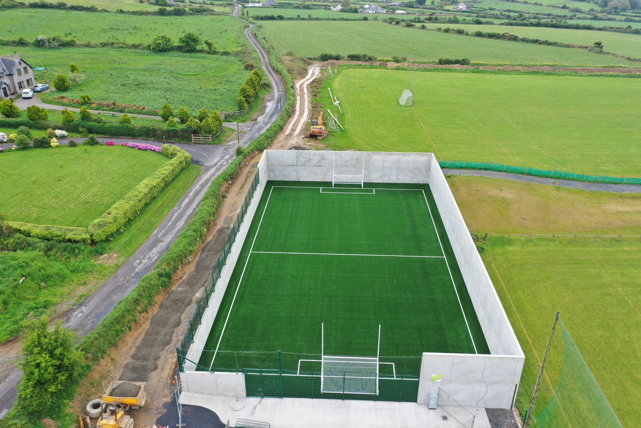 Páirc Ui Bhriain, DunhillGAA ground · 1406 yd
 Matthewstown Passage TombArchaeological place · 1573 yd
Explorer Tom Matthewstown Passage Tomb is where the Vikings got so lost they ended up arguing about which way was north for three…
 Fairy fort / earthen ringfort in BallymoatFairy fort / earthen ringfort · 1573 yd
Explorer Tom Fairy fort in Ballymoat rates itself five stars for 'overgrown charm' but only two stars for 'access', so it’s…
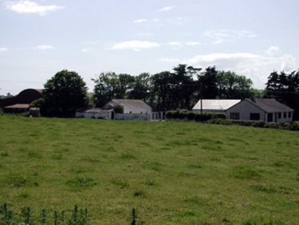 farmyard complex1632 yd
Explorer Tom This Ballyphilip farmyard complex was designed by a mother-in-law who wanted everything exactly her way. The buildings…
 Fenor BogNature reserve · 1.6 mi
Explorer Tom Fenor Bog sits beside the church in a Waterford village, a wet little world where the boardwalk crosses sedge, willow…
 William Flynn Park, FenorGAA ground · 1.9 mi
 Castle (in ruins)Castle, tower house · 2.2 mi
Explorer Tom Castle in Dunhill, County Waterford is gone, but two families are still arguing over who gets to claim the view from…
 Dunhill CastleCastle · 2.2 mi
Explorer Tom Dunhill Castle in County Waterford has strong opinions about the road leading to it, mostly that it’s too bumpy for its…
More archaeology and monuments in County Waterford · All of County Waterford

What do you know about this place?Tap to add a comment or ask a question