
What is recorded here
Reference to settlement here (Feehan, 1983, 383). No visible surface remains. Test excavation was carried out at the site of a proposed dwelling on 21 October 2000. The site lies within the area of archaeological constraint around an ecclesiastical site comprising a church (LA016-016003-), a graveyard (LA016-016004-),…
Read the whole record
From the National Monuments Service (Archaeological Survey of Ireland) record LA016-016005
Places near here
Photo credits
- National Inventory of Architectural Heritage
- Maker not stated on source page, www.joinmychurch.com
- Maker not stated on source page, www.ireland.com
- Maker not stated on source page, www.tripadvisor.co.uk
- Maker not stated on source page, ru.pinterest.com
- Maker not stated on source page, www.laoistoday.ie
- Kmcnamee, Wikimedia Commons · CC BY-SA 4.0
- Maker not stated on source page, www.discoverireland.ie
- Maker not stated on source page, in.pinterest.com
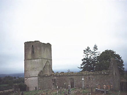 Anatrim Church (Offerlane)Church/chapel · 30 yd
Explorer Tom Anatrim Church (Offerlane) in Glebe, County Laois had a poet fall in a ditch right next to it. The ruin now stands as…
 Anatrim Church (in Ruins)Church · 31 yd
Explorer Tom Anatrim Church in Anatrim, County Laois would list 'sandstone and stubborn' on its dating profile. It was rebuilt so…
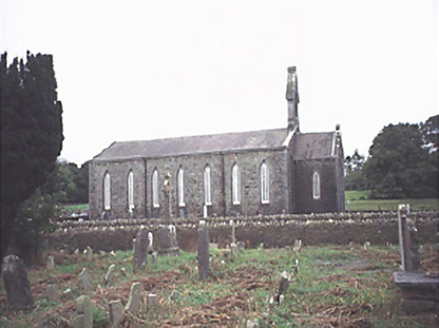 Saint Jude's Church (Offerlane)Church/chapel · 67 yd
Explorer Tom Saint Jude's Church in Glebe is seven bays wide, which is just plain arrogant for a village church. It’s got opinions…
 St. Kabans Well and StoneRitual site, holy/saint's stone · 167 yd
Explorer Tom St. Kabans Well and Stone in Anatrim is hiding a scandal involving a limestone flag and two elliptical depressions.…
 Church in Caher (custodia),caher (retrenched)Church · 711 yd
Explorer Tom Church in Caher would survive a zombie attack by just standing there looking smug while they argue over the door. It is…
 Shanderry HouseHouse · 1329 yd
Explorer Tom Shanderry House in County Laois is a five-bay Georgian diva that got a bit too much plastic surgery in the seventies.…
 Goss BrookHouse · 1490 yd
Explorer Tom Goss Brook in Gossbrook is picking a massive fight with the rain, and it’s losing badly. A ruined house from 1790…
 Holy well in DerrynaseeraHoly well · 1671 yd
Explorer Tom Holy well in Derrynaseera was stopped up because a dance party there went completely too far. St. Kevin’s Well is gone…
 Graveyard in KildrinaghGraveyard · 1709 yd
Explorer Tom Graveyard in Kildrinagh has strict rules: no running, no shouting, and absolutely no daggers. It keeps four bronze ones…
 Camross GAA pitchGAA ground · 1.2 mi
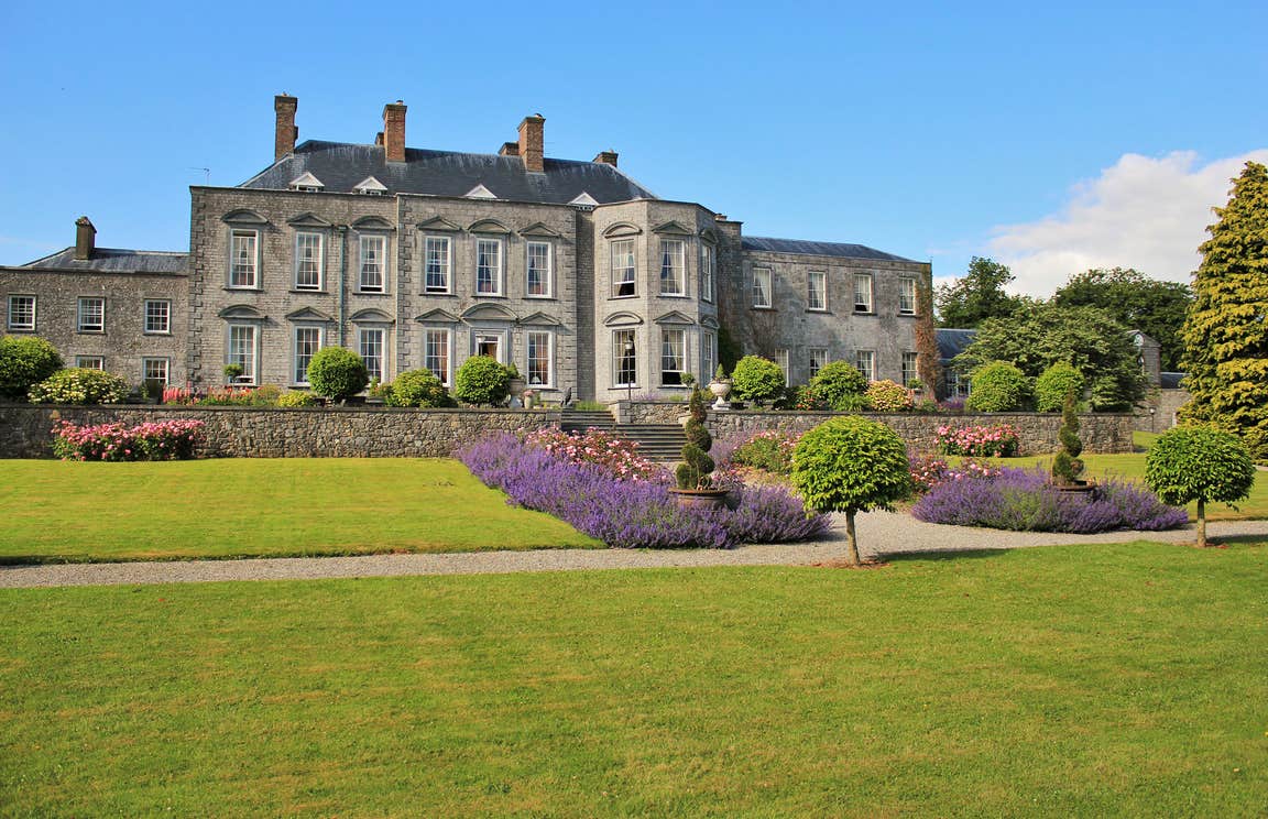 CastleCastle, motte · 1.5 mi
Explorer Tom Peafield’s motte handles nosy neighbours by just being a really big, confusing bump in a gravel ridge. Monsignor Tyan…
 Saint Fergal's CemeteryCemetery · 2.3 mi
Explorer Tom Saint Fergal's Cemetery was built by a guy who was probably thinking about lunch while laying the stones. You can tell…
More archaeology and monuments in County Laois · All of County Laois

What do you know about this place?Tap to add a comment or ask a question