What is recorded here
'The lands of Termon McGrath were granted to James, son of Archbishop Myler McGrath in 1610 (Hill 1877, 183-4). In 1611 Carew records that the 'Archbishop of Cashill hath begune a prittie castle at Termon Magragh w'ch he entends speedily to finish, havinge his materials ready at the place wher he meanes to buyld a bawne and finish the castle' (Hunter 1975, 82). In the campaign of 1649-50 Termon McGrath Castle was bombarded by Cromwellian troops and the N wall of the tower-house destroyed; it has remained a ruin ever since (Rowan 1979, 453)'.
'Tarmon McGragh Castle & Towne' is marked on the Down Survey (1655-6) map of the Parish of Cam, Barony of Tyrehugh. It appears that a small village grew up around the castle [DG105-014001- and DG105-014003-] (Ó Gallachair n.d. 17). A number of drains (DG105-014003-) criss-cross the area to the E and W of the roadway leading to the castle entrance and the aerial photograph (St. Joseph AJT 52) seems to show additional evidence of the layout of the 'town' or possibly of a garden.
The above description was derived from the 'Archaeological Survey of County Donegal. A description of the field antiquities of the County from the Mesolithic Period to the 17th century.' Compiled by: Brian Lacey with Eamon Cody, Claire Cotter, Judy Cuppage, Noel Dunne, Vincent Hurley, Celie O'Rahilly, Paul Walsh and Seán Ó Nualláin (Lifford: Donegal County Council, 1983). In certain instances the entries have been revised and updated.
Date of upload: 08 December 2011
The monument record does not grant public access. Check the route and ask the landowner before entering private land.
- What survives
- Recorded monument
Places near here
 Castle McGrathCastle · 66 yd
 Smiths RocksIsland · 973 yd
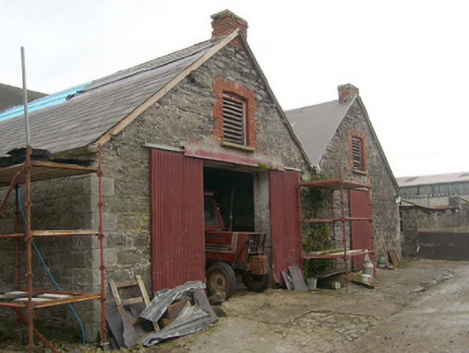 outbuildingoutbuilding · 1324 yd
 Teige's RockIsland · 1479 yd
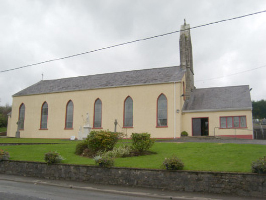 St. Mary's Catholic Churchchurch/chapel · 1.1 mi
 Drumharriff WoodForest recreation place · 1.1 mi
 ENCLOSURE in PortnablahyENCLOSURE · 1.3 mi
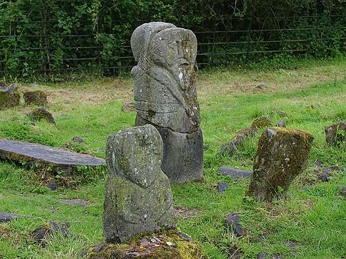 Boa IslandIsland · 1.4 mi
 InishturkWood · 1.6 mi
 possible CHURCH SITE: KILL PARK in Ardshankillpossible CHURCH SITE: KILL PARK · 1.6 mi
 Derrin MountainMountain / peak · 2.1 mi
 STONE FIGURES IN CALDRAGH GRAVEYARD: BOA ISLAND in DreenanSTONE FIGURES IN CALDRAGH GRAVEYARD: BOA ISLAND · 2.2 mi