
Places near here
Photo credits
- National Inventory of Architectural Heritage
- EecherplazGinkgo06.jpg : Cayambe derivative work: Ginkgotree ( talk ), Wikimedia Commons · CC BY-SA 3.0
- Kenneth Allen, Geograph · Creative Commons Attribution-ShareAlike 2.0
- Kenneth Allen, Wikimedia Commons · CC BY-SA 2.0
- Martin Dawes / Geograph Ireland, www.geograph.ie
- Ronnie Nijboer, Wikimedia Commons · CC0
- C Michael Hogan, Wikimedia Commons · CC BY-SA 2.0
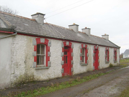 railway station1057 yd
Explorer Tom Railway station in Ballymagowen would tell its younger self to stop trying so hard because it’s just a building now…
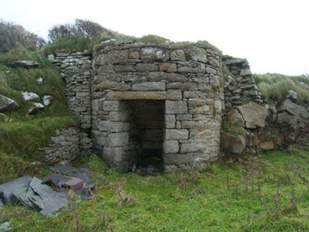 kiln1171 yd
Explorer Tom Kiln in Rahan Near hears the ghosts of all the bricks and tiles arguing about who was baked first through its thick…
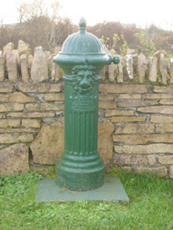 water pump1263 yd
Explorer Tom Water pump in Dunkineely has a lion’s head spout that looks like it is taking its job very seriously. Built around…
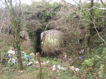 bridge1304 yd
Explorer Tom Bridge in Killaghtee once carried the road over the narrow gauge railway to Killybegs. Three concrete arches wear…
 Ginkgo1306 yd
Explorer Tom Ginkgo in County Donegal had a fiddler play there all night long until he fell asleep leaning against its trunk, which…
 Dunkineely Methodist ChurchChurch/chapel · 1379 yd
Explorer Tom Dunkineely Methodist Church smells like stale coffee and old hymnals, according to Tom, which is probably accurate and…
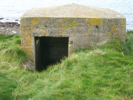 watch tower, pill box1436 yd
Explorer Tom Watch tower, Pill box in Rahan Near looks like a concrete egg that forgot to harden. Built around 1940, its flimsy…
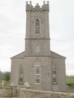 St. Peter's Church of Ireland ChurchChurch/chapel · 1476 yd
Explorer Tom St. Peter's Church in Beaugreen Glebe has a spiky finial silhouette that looks like it’s trying to scare away pigeons…
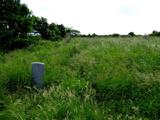 Killaghtee Old Church GraveyardGraveyard · 1629 yd
Explorer Tom Killaghtee Old Church Graveyard sits beside the old church; inside the graveyard, southwest of that church, the survey…
 Páirc Naomh Ultan, Naomh Ultan GAA, DunkineelyGAA ground · 1753 yd
 Wych Elm1.6 mi
Explorer Tom Wych Elm thinks tourists from Dublin have no idea what real nature is, judging them by their expensive hiking gear and…
 Cashel Town Wedge TombsWedge tomb · 1.7 mi
Explorer Tom Cashel Town Wedge Tombs are unique because three galleries sit side-by-side in a single circular kerb. One roofstone is…
More mountains and hills in County Donegal · All of County Donegal

What do you know about this place?Tap to add a comment or ask a question