What is recorded here
Seehaunnamnafinna is a lost name on a scrub hilltop in County Cork, recorded as a cairn in 1842 but absent from later maps. The name reappeared eight hundred metres away, suggesting human memory moved the marker rather than inventing it. Forgetting did not erase the place; it shifted the place, leaving behind a hilltop that remembers being seen.
On scrub-covered rounded hilltop; no visible surface trace of cairn. Depicted as cairn and named 'Seehaunnamnafinna' on 1842 OS 6-inch map; 1905 and 1935 OS 6-inch maps show no antiquity at this spot but on adjacent hilltop (which overlooks site), c. 800m SSE, both editions depict a cairn named 'Seehaunnamnafinna' (see 11796).
The above description is derived from the published 'Archaeological Inventory of County Cork. Volume 4: North Cork' (Dublin: Stationery Office, 2000). In certain instances the entries have been revised and updated in the light of recent research.
Date of upload/revision: 14 January 2009
The monument record does not grant public access. Check the route and ask the landowner before entering private land.
- What survives
- Recorded monument
Places near here
 Knocknaskagh North TopMountain / peak · 852 yd
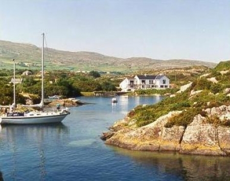 SeehaunnamnafinnaCairn, unclassified · 861 yd
 Folacht FiadhFulacht fia · 1399 yd
 Wood Cottagehouse · 1.1 mi
 Castle Blagh (Site of)Castle, unclassified · 1.4 mi
 IndicatedKiln, lime · 1.5 mi
 Priest's WoodForest · 1.5 mi
 Castle (in Ruins)Castle, unclassified · 1.6 mi
 Johnson's WoodForest · 1.8 mi
 Liam BurkeMemorial · 1.9 mi
 Blackwater (Avondhu) WayWalking route · 1.9 mi
 SeefinMountain / peak · 2.0 mi