What is recorded here
On a shingle strand beside a car park, to the W of the O'Sullivan Bere's castle (CO128-001002-) at Dunboy. The remains of a stone wall (T 0.9m; H 0.05-0.2m), which curves slightly to the S, extend (L 19m) E-W across the strand. The remaining stones are smooth-faced and are carefully laid along the line of the wall. Numerous stones and slabs are scattered on the strand near the stone wall. Along with the extant wall, the quantity of stones nearby suggests a substantial well-constructed wall which was probably built as a barrier to protect the bank. The bank itself is now in an eroded state at the head of the strand, 4m to S. Traces of bog were noted under some of the base stones. A shell midden (CO128-024001-) is 4m to the S.
The above description is derived from 'The Archaeological Inventory of County Cork. Volume 5' (Dublin: Stationery Office, 2009).
Date of upload: 22 December 2009
The monument record does not grant public access. Check the route and ask the landowner before entering private land.
- What survives
- Recorded monument
Places near here
 Dunboy CastleRuins · 49 yd
 Castle (in Ruins)Castle, tower house · 50 yd
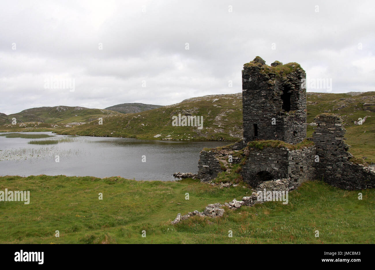 Hut site in DunboyHut site · 70 yd
 Siege of Dunboysiege · 99 yd
 TraneenBeach / strand · 675 yd
 Dunboy WoodForest · 758 yd
 Enclosure in DisertEnclosure · 897 yd
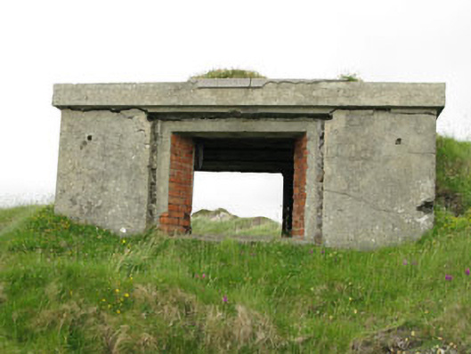 pill boxpill box · 1163 yd
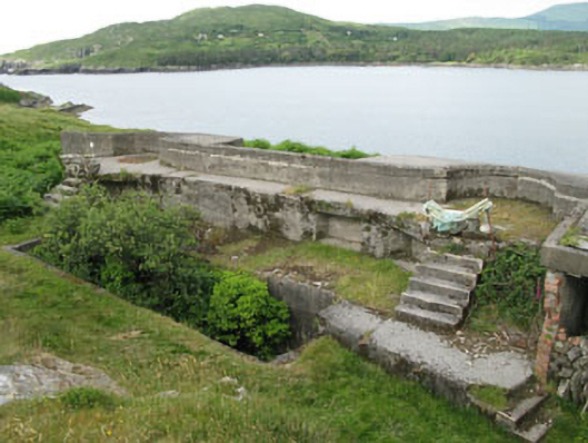 batterybattery · 1208 yd
 Ardnakinna West Island LoopWalking route · 1.0 mi
 Burial ground in DerrycreeveenBurial ground · 1.1 mi
 Sheep IslandsIslet · 1.1 mi