What is recorded here
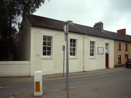
Attached four-bay single-storey national school, built 1930, on a rectangular plan. Now in alternative use. Pitched fibre-cement slate roof with clay ridge tiles centred on truncated vent, rendered chimney stacks having stepped capping supporting terracotta pots, and cast-iron rainwater goods on rendered eaves retaining cast-iron downpipes. Roughcast walls on rendered "bas-relief" plinth with rendered flush strips to corners supporting rendered "bas-relief" band to eaves. Square-headed window openings with concrete sills, and rendered "bas-relief" surrounds framing four-over-four timber sash windows. Square-headed door opening (north) with cut-granite step threshold, and rendered "bas-relief" surround framing timber panelled door having overlight. Street fronted on a corner site with concrete footpath to front.
A national school representing an integral component of the twentieth-century built heritage of Gorey with the architectural value of the composition, one supplementing the Christian Brothers' National School (opened 1854; closed 1967) in Saint Michael's Place, suggested by such attributes as the compact rectilinear plan form. Having been well maintained, the elementary form and massing survive intact together with substantial quantities of the original fabric, both to the exterior and to the restrained interior, thus upholding the character or integrity of a national school forming part of a self-contained group alongside the adjacent Christian Brothers' Monastery (see 15601104) with the resulting ensemble making a pleasing visual statement in Saint Michael's Road.
This does not grant access. Most recorded buildings are privately owned; view them only from public ground unless the owner allows entry.
Places near here
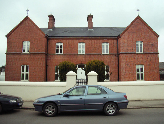 Christian Brothers' Monasterymonastery · 24 yd
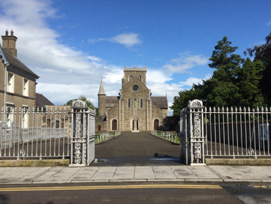 Catholic Church of Saint Michael the Archangelgates/railings/walls · 25 yd
 Market HouseHeritage attraction · 224 yd
 Fulacht fia in Ramstown LowerFulacht fia · 766 yd
 1798 MonumentMemorial · 833 yd
 Boiling WellHoly well · 1002 yd
 Gorey HillMountain / peak · 1749 yd
 Kia Ora Mini FarmHeritage attraction · 1.7 mi
 Carriganeagh RockMountain / peak · 1.7 mi
 Ballingarry WoodForest · 2.7 mi
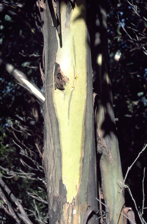 Johnston's gumJohnston's gum · 3.2 mi
 Saint Brigid's WellSpring · 6.5 mi
Other information
Photo: National Inventory of Architectural Heritage · Website use allowed for educational or private purposes with source credit