What is recorded here
Located on the S side of Slade Harbour and SE of the fortified house (WX054-008002-). In 1685 Henry Loftus rented the castles and land of Slade to William Mansel, who was a brother-in-law of his wife’s and who had been implicated in the Monmouth rebellion in England against James II in 1685. Mansel developed the saltworks, which functioned by dissolving rock-salt, and evaporating the brine into a purer commodity to be used in the fishing industry. Rock-salt from Cheshire was imported using the pier (WX054-017----) built by Henry Loftus in 1684. Coal for both the saltworks and the lighthouse (WX054-010----) was also imported at Slade, The saltworks may have been in decline by the 1770s (Hore 1900-11, vol. 4, 425-6), and the works are described as 'disused' on the 1839 ed. of the OS 6-inch map. Much of the E end of the structure was destroyed in the later 19th century (ibid. vol. 4, 419-20).
The E end of the complex originally consisted of four E-W corridors, arranged four-square. Each corridor was divided into four chambers (int. dims c. 5m E-W; c. 3.5m N-S), and each chamber is corbelled separately. Only the SW corridor survives complete (int. dims 20m E-W; 3.5m N-S) but fragments of corbelling or piers from the NW and SE corridors are present. The contiguous W end of the complex consists of the remains of small corbelled chambers centred on a large square corbelled chamber (dims 7m x 7m), which was open at the top. The total length of the complex is c. 60m E-W. The corridors were probably used for storage while the evaporation might have been conducted in the open-roofed chamber. (Colfer 2004, 150-2)
The abpve description is derived from the published 'Archaeological Inventory of County Wexford' (Dublin: Stationery Office, 1996). In certain instances the entries have been revised and updated in the light of recent research.
Compiled by: Michael Moore
Date of upload/revision: 31 March, 2014
This remains an important historical record, but the official description says the monument is no longer visible or has been destroyed. The monument record does not grant public access. Check the route and ask the landowner before entering private land.
- What survives
- No visible remains or recorded as destroyed
Places near here
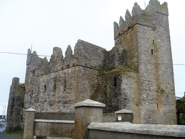 Slade CastleCastle, tower house · 55 yd
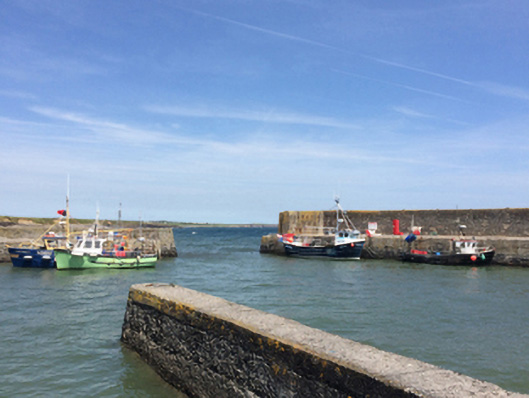 quay/wharfquay/wharf · 75 yd
 PierQuay · 83 yd
 Enclosure in LoftushallEnclosure · 695 yd
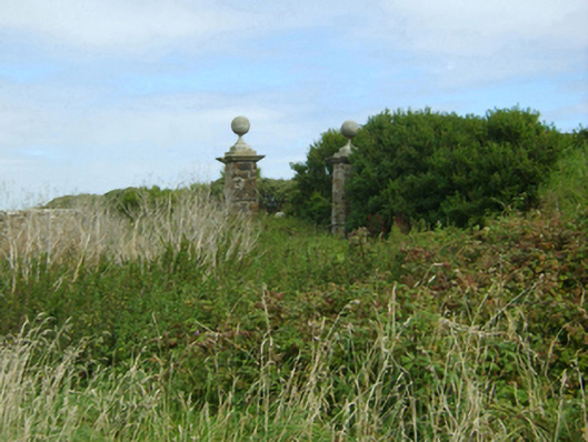 Loftus Hallgates/railings/walls · 908 yd
 St. Dubhan's ChurchHeritage attraction · 1287 yd
 hookHeritage attraction · 1563 yd
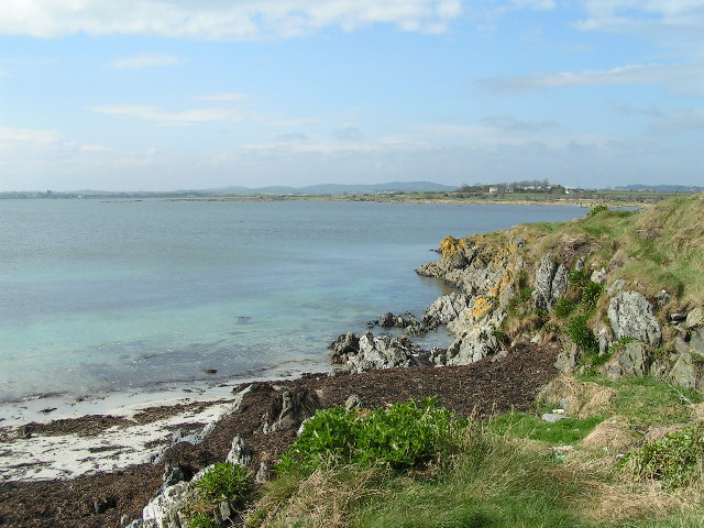 The Hall BayBeach / strand · 1624 yd
 DoornogeHeadland · 1.1 mi
 Long RockNamed rock · 1.1 mi
 Boyce's BayBeach / strand · 1.6 mi
 Houseland Castle (in ruins)Castle, tower house · 1.9 mi