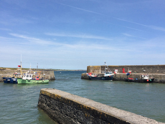
What is recorded here
Quay, built 1846-7; dated 1847, including (north): Pier on a rectangular plan with part repointed coursed rubble limestone battered walls having mass concrete coping; (south): Pier on an L-shaped plan with part repointed coursed rubble limestone battered walls having lichen-spotted mass concrete coping. Sold, 1917. Set extending into Slade Bay.
A quay erected to designs by Barry Duncan Gibbons (c.1798-1862), Engineer for Piers and Harbours with the Board of Public Works (appointed 1846), representing an important component of the mid nineteenth-century built heritage of south County Wexford. NOTE: The quay, 'BUILT BY THE PEOPLE OF HOOK...AS A FAMINE RELIEF PROJECT', is believed to repurpose at least the foundations earlier piers erected (1684; 169-) by Henry Loftus (1636-1716) and William Mansell (----) which were described as in poor repair in a report in the later eighteenth century (Mackenzie 1776) [SMR WX054-017----].
This does not grant access. Most recorded buildings are privately owned; view them only from public ground unless the owner allows entry.
Places near here
 PierQuay · 69 yd
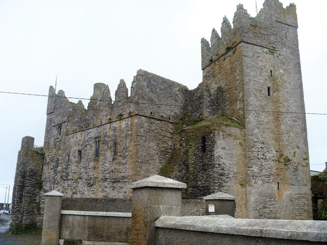 Slade CastleCastle, tower house · 116 yd
 Enclosure in LoftushallEnclosure · 691 yd
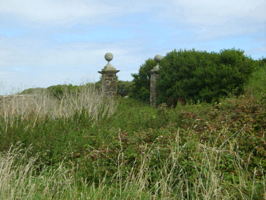 Loftus Hallgates/railings/walls · 858 yd
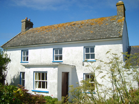 farm housefarm house · 1244 yd
 St. Dubhan's ChurchHeritage attraction · 1326 yd
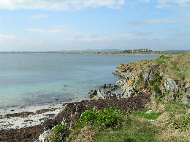 The Hall BayBeach / strand · 1569 yd
 hookHeritage attraction · 1622 yd
 Long RockNamed rock · 1.1 mi
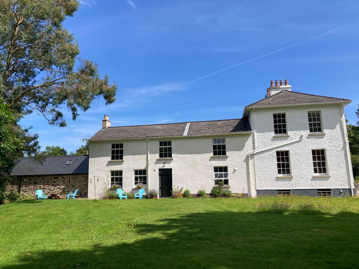 DoornogeHeadland · 1.1 mi
 Boyce's BayBeach / strand · 1.6 mi
 Houseland Castle (in ruins)Castle, tower house · 1.8 mi
Other information
Photo: National Inventory of Architectural Heritage · Website use allowed for educational or private purposes with source credit