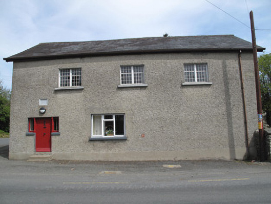
What is recorded here
Detached T-plan three-bay two-storey former school, dated 1852, having single-bay return to rear (north-east), with further slightly lower two-storey return to latter. Pitched slate roof with mixed cast-iron and replacement rainwater goods, rendered chimneystack to extension to rear, timber bargeboards and clay ridge-tiles. Harl-rendered walls having smooth render plinth course to front (south-west) and side (north-west) elevations, painted inscribed dressed date plaque over door to front. Square-headed window openings throughout, with painted tooled stone sills, small-pane cast-iron windows to first floor front and upper north-west gable. Replacement uPVC and timber windows elsewhere, with render sills, opening to ground floor of north-west gable set within round-headed recess. Square-headed door opening to front elevation, having timber battened door flanked by turned and grooved timber colonettes and timber framed sidelights on rendered risers, fronted by two sandstone steps. Square-headed door opening to south-east elevation at first floor level, with timber battened door, accessed by flight of sandstone steps abutting wall, having harl-rendered parapet with stone coping. Three-centred-arch opening to rear with double-leaf timber battened door. Square-headed opening to south-east elevation of return having timber battened door. Cobbles to yard to rear. Coursed rubble boundary wall to rear and south-east elevation, double-leaf wrought-iron gate flanked by square-plan coursed rubble stone piers to south-east.
Due to its scale and prominent positioning at a central junction in the small village setting, this former school makes a notable contribution to the streetscape. It is enhanced by the retention of salient features such as its slate roof, cast-iron and timber windows, inscribed date plaque and the stairway to the south-east elevation. Later employed as a church hall, it was of continued social importance in the locality and formed part of a group with the adjacent Saint Laeban's Church and the associated rectory.
This does not grant access. Most recorded buildings are privately owned; view them only from public ground unless the owner allows entry.
Places near here
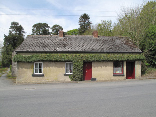 Hall'shouse · 29 yd
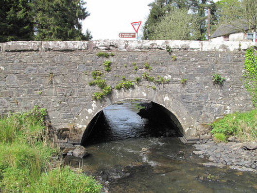 bridgebridge · 36 yd
 Crannog in Drumcaw (dartree By.)Crannog · 510 yd
 Grave YardGraveyard · 629 yd
 Common LimeCommon Lime · 1713 yd
 KillycoonaghWood · 1.1 mi
 Saint John's WellSpring · 1.3 mi
 Roosky Castle (Site of)Castle, ringwork · 1.5 mi
 Lisarrilly HillMountain / peak · 1.9 mi
 Jaundice WellSpring · 2.3 mi
 Tomb HillMountain / peak · 3.1 mi
 Abbey RuinsHeritage attraction · 3.2 mi
Other information
Photo: National Inventory of Architectural Heritage · Website use allowed for educational or private purposes with source credit