What is recorded here
From the National Monuments Service (Archaeological Survey of Ireland) record LA016-025002
Places near here
Photo credits
- Maker not stated on source page, www.discoverireland.ie
- Maker not stated on source page, www.flickr.com
- Maker not stated on source page, visionsofthepastblog.com
- Maker not stated on source page, www.laoistoday.ie
- Maker not stated on source page, monumentalireland.ie
- National Inventory of Architectural Heritage
- Miguel Angel Masegosa Martínez, Wikimedia Commons · CC BY 2.0
- Kmcnamee, Wikimedia Commons · CC BY-SA 4.0
- Maker not stated on source page, www.rte.ie
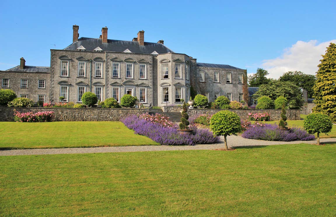 CastleCastle, motte · 1502 yd
Explorer Tom Peafield’s motte handles nosy neighbours by just being a really big, confusing bump in a gravel ridge. Monsignor Tyan…
 Bridge in Kildrinagh,peafield,shangownaghBridge · 1.1 mi
Explorer Tom Bridge in Kildrinagh got the map wrong because it was too busy hiding from the river. It found human remains down…
 Church in KildrinaghChurch · 1.4 mi
Explorer Tom Killabban Church has good views in all directions, which is great if you're lost and need to figure out where the pub…
 Fairy fort / earthen ringfort in KildrinaghFairy fort / earthen ringfort · 1.4 mi
Explorer Tom Fairy fort / earthen ringfort in Kildrinagh is basically a ghost with commitment issues. No walls left, just vibes and…
 Graveyard in KildrinaghGraveyard · 1.4 mi
Explorer Tom Graveyard in Kildrinagh has strict rules: no running, no shouting, and absolutely no daggers. It keeps four bronze ones…
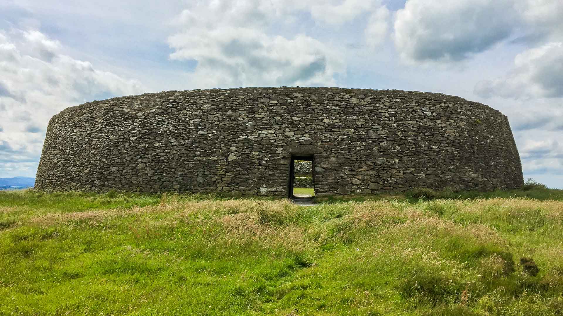 Fairy fort / earthen ringfort in ManninFairy fort / earthen ringfort · 1.4 mi
Explorer Tom Fairy fort / earthen ringfort in Mannin is currently losing a staring contest with the nearest tree. The bank is gone…
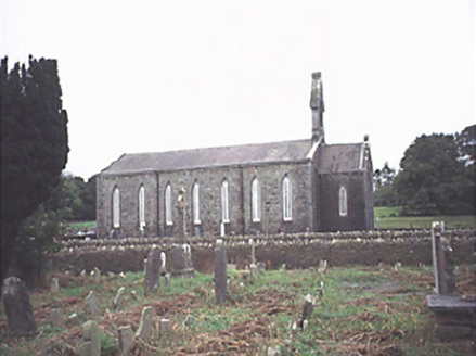 Saint Jude's Church (Offerlane)Church/chapel · 1.7 mi
Explorer Tom Saint Jude's Church in Glebe is seven bays wide, which is just plain arrogant for a village church. It’s got opinions…
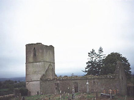 Anatrim Church (Offerlane)Church/chapel · 1.7 mi
Explorer Tom Anatrim Church (Offerlane) in Glebe, County Laois had a poet fall in a ditch right next to it. The ruin now stands as…
 Mapped cemeteryCemetery · 2.0 mi
Explorer Tom This Mapped cemetery suspects the postman has been hiding letters under its headstones for decades. It’s got a grudge…
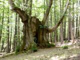 Sweet Chestnut2.0 mi
Explorer Tom Sweet Chestnut in County Laois is hiding a treasure that is definitely just an old biscuit tin buried under its roots.…
 Daingenroe, CastletownGAA ground · 2.2 mi
 Kilcotton GAA pitchGAA ground · 2.4 mi
More historic places in County Laois · All of County Laois

What do you know about this place?Tap to add a comment or ask a question