What is recorded here
In pasture, located 55m NE of Moyne Franciscan friary (MA022-024001-), towards the base of a steep S-facing slope, 15m N of the E−W stream flowing from the friary into Killala bay to E. The shoreline is 25m to E. Indicated simply as ‘Ruin’ on the 1838 and 1929 OS 6-inch maps, located in the NW corner of a…
Read the whole record
From the National Monuments Service (Archaeological Survey of Ireland) record MA022-024005
Places near here
Photo credits
- Andreas F. Borchert, Wikimedia Commons · CC BY-SA 4.0
- Maker not stated on source page, www.dreamstime.com
- Maker not stated on source page, en.wikipedia.org
- Maker not stated on source page, www.pinterest.ca
- Maker not stated on source page, www.pinterest.ru
- National Inventory of Architectural Heritage
- Maker not stated on source page, www.alamy.com
- Maker not stated on source page, au.pinterest.com
- Maker not stated on source page, www.ibelieve.com
- Steve Edge, Geograph · CC BY-SA 2.0
- Edward S. Siebert, Wikimedia Commons · Public domain
- Maker not stated on source page, www.pinterest.com
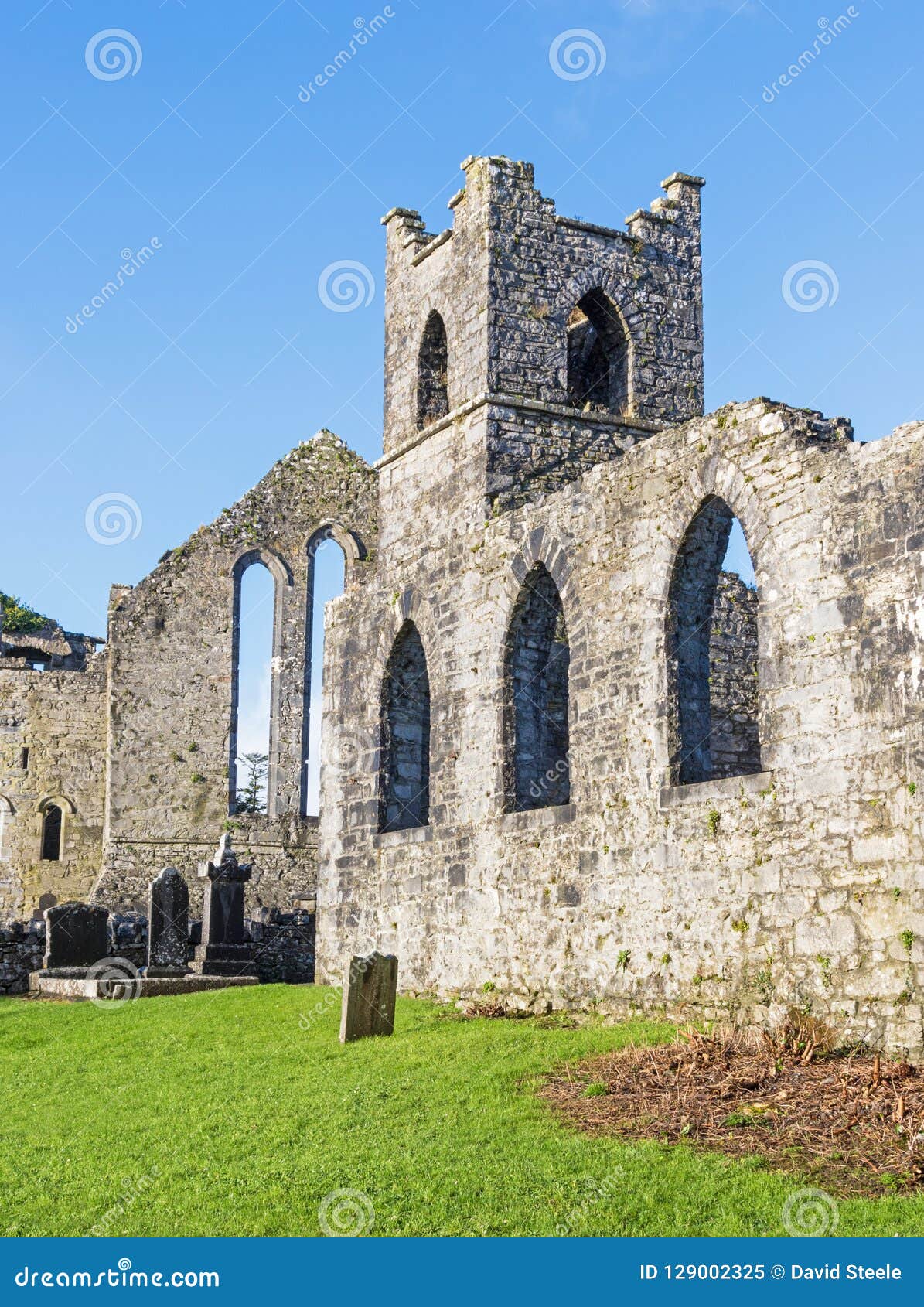
 Moyne AbbeyHeritage attraction · 95 yd
Explorer Tom Moyne Abbey's tower and cloisters rise from farmland near the River Moy, with Killala Bay beyond: a grand set of…
 Holy well in AbbeylandsHoly well · 115 yd
Explorer Tom Holy well in Abbeylands has a curse that only affects people who don't wave hello. The saints are strict about…
 Architectural fragment in Bartragh IslandArchitectural fragment · 1474 yd
Explorer Tom Architectural fragment in Bartragh Island is a pile of cut stone that would win the lotto by building a castle for…
 Church in Bartragh IslandChurch · 1474 yd
Explorer Tom Church in Bartragh Island is famous for being completely invisible, which makes for the best tourist trap in County…
 Burial ground in Bartragh IslandBurial ground · 1474 yd
Explorer Tom Burial ground in Bartragh Island is a shortcut that definitely isn't, according to every map ever made. The sea keeps…
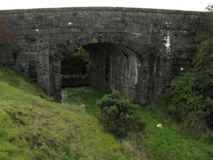 bridge1693 yd
Explorer Tom Bridge in Carrowreagh near Newtownwhite is part of the late nineteenth-century railway heritage, built with rock-faced…
 Crosspatrick GraveyardCemetery · 1.1 mi
Explorer Tom Crosspatrick Graveyard would teach history if it had to, but it prefers to keep the facts vague so no one can argue…
 Melick Castle in RuinsCastle, unclassified · 1.5 mi
Explorer Tom Meelick Castle is listening to the wind complain about the weather, which is honestly the only interesting thing…
 St. Patrick's GraveyardGraveyard · 1.9 mi
Explorer Tom St. Patrick's Graveyard claims Queen Victoria visited once but forgot to leave any footprints or evidence whatsoever…
 Rinnaun PointHeadland · 2.0 mi
Explorer Tom Rinnaun Point is the center of a local superstition that says if you whistle at it, your car will never start again for…
 Battle of KillalaBattle · 2.0 mi
Explorer Tom The Battle of Killala has a family tree that’s mostly made up, probably because everyone was too busy running to write…
 Ballyteean Castle in RuinsCastle, unclassified · 2.3 mi
Explorer Tom Ballyteean Castle in Ruins has strict rules: no running, no loud noises, and definitely no bringing your own cheese…
More historic places in County Mayo · All of County Mayo

What do you know about this place?Tap to add a comment or ask a question