
What is recorded here
Round tower stood thirty yards from the church in Brigown until a violent storm broke most of it in 1720. Its stones reappeared later in the rounded south-west graveyard wall, where twelve large sandstone blocks still mark the buried place. The tower belonged to a old Christian site reached even by Norsemen in 839, and its disappearance turned a familiar landmark into a shape remembered only through scarred stone.
Within SW quadrant of graveyard (14549). No visible surface trace of tower 'which stood 30 yards from the S.W. angle of the church, and fell, in the memory of several people' (Smith 1750, vol. 1, 346). According to Moore (1889, 225), 'this tower appears to have remained intact until the year 1720, when a violent storm overthrew the greater portion of it, leaving only a fragment 15 feet in height standing'. In 1807 base of tower, then reduced to ground level, removed to furnish stones for building of nearby glebe house (since demolished) (Brady 1863, 70). Tower seen to be resting on square foundation, at one corner of which was fragment of large stone, inscribed with three rows of letters: 'letters H, U, and O could be distinguished. A letter shaped like P was repeated more than once, as also C or G' (ibid.).
Moore (1889, 225) suggests that stones from round tower were 'built into the south-west angle of the wall surrounding the ruin and burial-ground, and are placed very near the ancient site of the tower...judging both by their shape and colour...they are twelve in number'. External SW corner of graveyard (14549) is rounded, built of large squared well-coursed stones of sandstone. Brigown described as having an ecclesiastical tower and a church when attacked and plundered by Norsemen in the year 839 (ibid., 222). The Crichad an Chaoille (Power 1932, 31, 52) mentions that Brigown had its own 'aistre', a minor ecclesiastical officer responsible for bell-ringing. (Barrow 1979, 71)
The above description is derived from the published 'Archaeological Inventory of County Cork. Volume 4: North Cork' (Dublin: Stationery Office, 2000). In certain instances the entries have been revised and updated in the light of recent research.
Date of upload/revision: 14 January 2009
The monument record does not grant public access. Check the route and ask the landowner before entering private land.
- What survives
- Recorded monument
Places near here
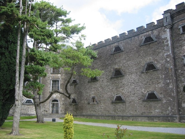 Ecclesiastical enclosure in BrigownEcclesiastical enclosure · 39 yd
 Brigown Church (in Ruins)Church · 57 yd
 St Finnchus WellHoly well · 74 yd
 Christian Brothers' Monastery and Schoolgates/railings/walls · 387 yd
 Statue of Saint FanahanMemorial · 673 yd
 Mitchelstown Town MapVisitor information · 908 yd
 John MandevilleMemorial · 924 yd
 White Knights Tower (Site of)Castle, unclassified · 1.0 mi
 Carriganoura Castle (in Ruins)Castle, tower house · 2.5 mi
 FlagCave · 2.6 mi
 Ballyarthur HillMountain / peak · 4.1 mi
 Kilclooney WoodWood · 5.5 mi
Other information
Photo: Credit not shown in the picture search · Rights wording not checked; contact us if this picture should be removed