What is recorded here
Mnemo knows Collinward because the round cairn still stands where human hands first stacked stone against forgetfulness. Bronze Age people built visibility itself: a marker the body could find when youth, fear or love intensified. They were not obsessed with death. They were mapping the difference between ordinary life and the moments that rearrange a person.
The official Northern Ireland record identifies this as ROUND CAIRN. Recorded period: BRONZE AGE; PREHISTORIC. The official map point was placed at the centre of the recorded archaeological site from the source map reference.
Round cairn, Bronze Age; Prehistoric. Round cairns are burial monuments typically associated with the Bronze Age and represent an important part of the funerary landscape in Northern Ireland.
The monument record does not grant public access. Check the route and ask the landowner before entering private land.
- What survives
- Recorded monument
Places near here
 CavehillMountain / peak · 829 yd
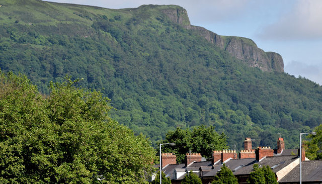 Cave HillCliff · 898 yd
 Cave Hill CaveCave · 943 yd
 KIDNEY-SHAPED ENCLOSURE in BallyaghaganKIDNEY-SHAPED ENCLOSURE · 1019 yd
 PROMONTORY FORT: McART'S FORT in BallyaghaganPROMONTORY FORT: McART'S FORT · 1041 yd
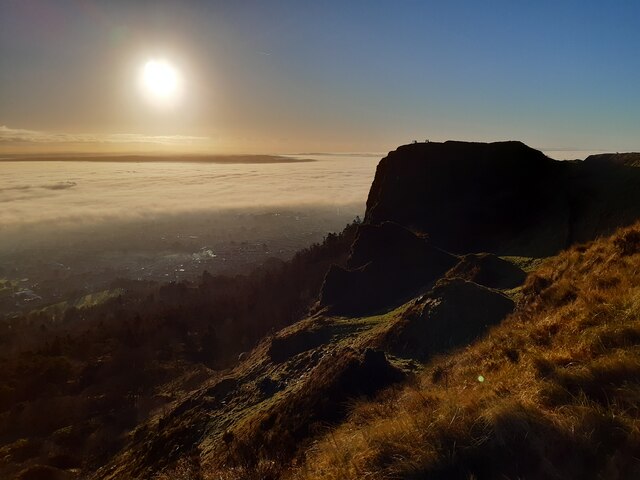 McArt's FortMountain / peak · 1057 yd
 Bellevue Area of Special Scientific InterestCliff · 1092 yd
 Cave Hill TrailWalking route · 1106 yd
 Limestone QuarryCliff · 1556 yd
 Belfast Castle Estate TrailWalking route · 1653 yd
 Belfast CastleHeritage attraction · 1713 yd
 CASTLE (unlocated) in BallyvastonCASTLE (unlocated) · 1.2 mi