What is recorded here
The official Northern Ireland record identifies this as ROUND CAIRN. Recorded period: PREHISTORIC. The official map point was placed at the centre of the recorded archaeological site from the source map reference.
Round cairn, dating to the Neolithic or Bronze Age period. These cairns are significant as they represent early ritual or funerary monuments, reflecting prehistoric burial practices and social organisation in the region.
The monument record does not grant public access. Check the route and ask the landowner before entering private land.
- What survives
- Recorded monument
Places near here
 Audleystown WoodWood · 268 yd
 Audley's CastleHeritage attraction · 463 yd
 TOWER-HOUSE AND BAWN: AUDLEY'S CASTLE in CastlewardTOWER-HOUSE AND BAWN: AUDLEY'S CASTLE · 473 yd
 North LodgeGates/ Screens/ Lodges · 616 yd
 QUAY in CastlewardQUAY · 724 yd
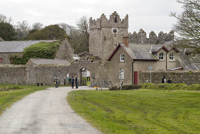 DESIGNED LANDSCAPE: CASTLE WARD in CastlewardDESIGNED LANDSCAPE: CASTLE WARD · 766 yd
 Boat HouseBoat House · 820 yd
 CHURCH; GRAVEYARD; ENCLOSURE: TEMPLECORMAC in AudleystownCHURCH; GRAVEYARD; ENCLOSURE: TEMPLECORMAC · 916 yd
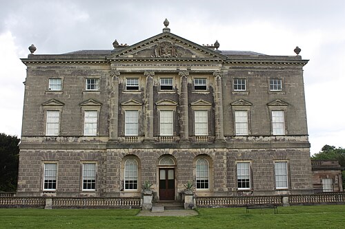 Castle WardCastle · 1028 yd
 Ballyhenry IslandIslet · 1366 yd
 Chapel IslandIslet · 1462 yd
 Cranes' CornerHeadland · 1656 yd