
What is recorded here
The official Northern Ireland record identifies this as TOWER-HOUSE AND BAWN: AUDLEY'S CASTLE. Recorded period: LATE-MED. Recorded protection: State Care. The official map point was placed at the centre of the recorded archaeological site from the source map reference.
Built by the Audley family in the late medieval period, Audley's Castle in Castleward is remembered for its strategic position and well-preserved tower-house, reflecting the defensive architecture of Ulster's plantation era.
The monument record does not grant public access. Check the route and ask the landowner before entering private land.
- What survives
- Recorded monument
Places near here
 Audley's CastleHeritage attraction · 20 yd
 Audleystown WoodWood · 228 yd
 QUAY in CastlewardQUAY · 350 yd
 Boat HouseBoat House · 554 yd
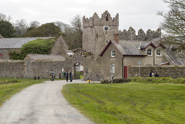 DESIGNED LANDSCAPE: CASTLE WARD in CastlewardDESIGNED LANDSCAPE: CASTLE WARD · 763 yd
 North LodgeGates/ Screens/ Lodges · 866 yd
 TOWER-HOUSE: OLD CASTLE WARD in CastlewardTOWER-HOUSE: OLD CASTLE WARD · 917 yd
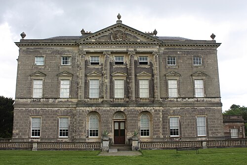 Castle WardCastle · 919 yd
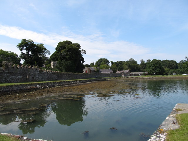 STONE QUAY in CastlewardSTONE QUAY · 984 yd
 Cranes' CornerHeadland · 1252 yd
 Swan IslandIslet · 1541 yd
 Ballyhenry IslandIslet · 1643 yd
Other information
Photo: Des Colhoun · CC BY-SA 2.0