What is recorded here
From OpenStreetMap (© OpenStreetMap contributors) n2864280275
Places near here
Photo credits
- Maker not stated on source page, en.wikipedia.org
- Roslea Shamrocks GFC official website; photographer not named, rosleashamrocks.com
- Maker not stated on source page, za.pinterest.com
- National Inventory of Architectural Heritage
- Maker not stated on source page, www.ireland.com
- Jonathan Billinger, Wikimedia Commons · CC BY-SA 2.5
- Maker not stated on source page, tr.pinterest.com
- Maker not stated on source page, monumentalireland.ie
- Maker not stated on source page, ca.pinterest.com
- Maker not stated on source page, uk.pinterest.com
- Alvesgaspar, Wikimedia Commons · CC BY-SA 3.0
 Mapped graveyardGraveyard · 71 yd
Explorer Tom "Mapped graveyard is famous for the poet who fell in the ditch nearby while reciting his work and landed face-first in…
 Shamrock Park, Roslea ShamrocksGAA ground · 254 yd
 Church (in ruins), penal mass site & possible graveyard in TattinbarChurch (in ruins), penal mass site & possible graveyard · 460 yd
Explorer Tom Church (in ruins), Penal mass site & possible graveyard in Tattinbar has a wild claim about its age that nobody…
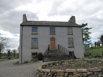 Kilcorran HouseHouse · 1.0 mi
Explorer Tom Kilcorran House in Kilcorran is showing off its piano nobile floor like it’s still expecting guests to arrive for a…
 Island, possibly crannog in Spring GroveIsland, possibly crannog · 1.1 mi
Explorer Tom Spring Grove has an island that might be a crannog, or maybe just a very stubborn rock. I claim it’s actually older…
 Attack on Derryard checkpointTerrorist attack · 1.4 mi
Explorer Tom Attack on Derryard checkpoint would handle a nosey neighbour by simply pretending it never happened at all. The whole…
 Enclosure (site of) in TattygormicanEnclosure (site of) · 1.5 mi
Explorer Tom Enclosure in Tattygormican has a rivalry with a more famous castle nearby that always wins the popularity contest for…
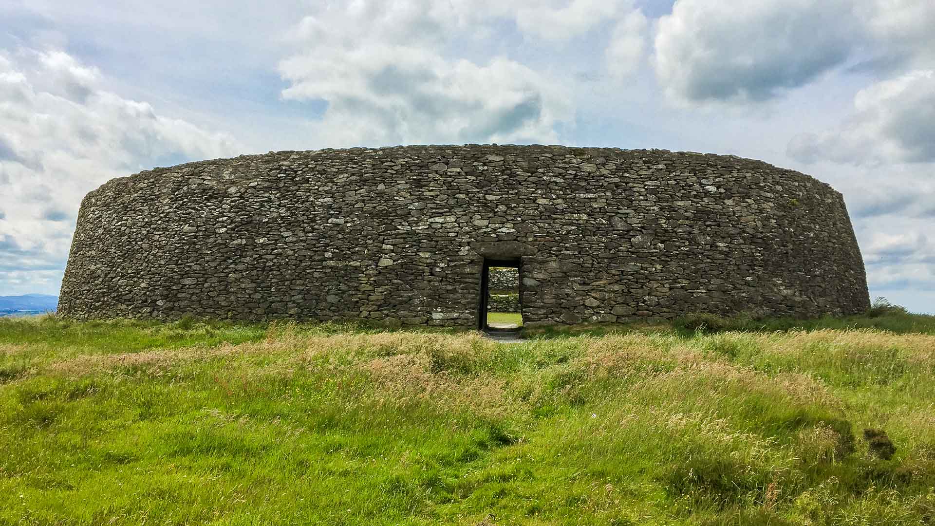 Fairy fort / earthen ringfort in Annahagh SouthFairy fort / earthen ringfort · 1.6 mi
Explorer Tom Fairy fort / earthen ringfort in Annahagh South is currently having a massive dispute with the fairies over who gets to…
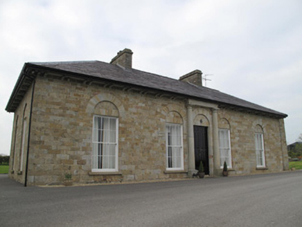 Loughoony HouseHouse · 1.9 mi
Explorer Tom Loughoony House in Loughoony has strict rules about who gets to admire its Georgian detailing. The sandstone is…
 CastleCastle, unclassified · 3.6 mi
Explorer Tom Castle in Conaghy is basically a rumor with good posture, thanks to local tradition claiming Mahon’s castle was once on…
 Graveyard (Disused)Graveyard · 4.2 mi
Explorer Tom Graveyard (Disused) in Annaghkilly is currently run by one very confused dog. The church is gone, but the name still…
 Common Lime4.3 mi
Explorer Tom This Common Lime in County Monaghan keeps whispering to its younger self about making better leaf choices. It’s got…
More viewpoints and information in County Fermanagh · All of County Fermanagh

What do you know about this place?Tap to add a comment or ask a question