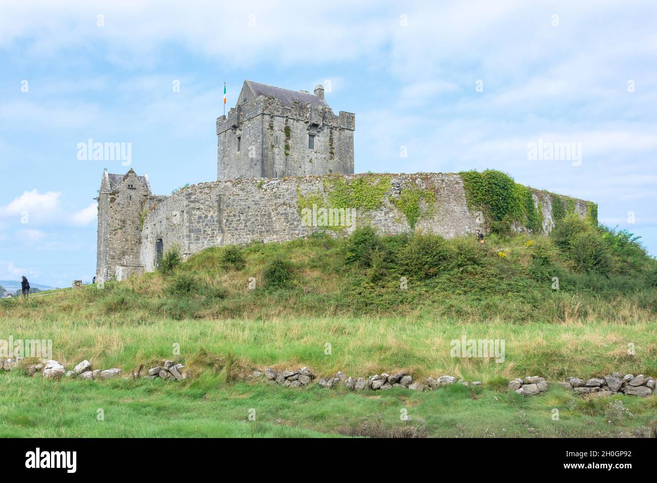
What is recorded here
Twenty-eight metres of forgotten stone circle the rock outcrop at Cuildooish, though modern field boundaries now cut cleanly through its western and eastern edges. Generations of farmers piled cleared rubble against the southern side, burying the last visible traces of the dry-stone wall that once defined the settlement. The name Rooanaphuca still carries the shadow of the púca, hinting that locals long suspected the ruin belonged to something sharper than ordinary human history.
In rock outcrop. Very poorly preserved subcircular cashel (27.7m E-W) defined by a collapsed drystone wall. The townland field boundary cuts across the monument at WSW and ENE and field-clearance rubble obscures the enclosing element to the S of it. (McCaffrey 1952, 193, no. 56)
Compiled by: Galway Archaeological Survey, UCG
Date of upload: 4 December 2017
The monument record does not grant public access. Check the route and ask the landowner before entering private land.
- What survives
- Recorded monument
Places near here
 CaherFairy fort / stone ringfort · 760 yd
 IndicatedChurch · 794 yd
 Raheen FortsFairy fort / stone ringfort · 1017 yd
 Quarry in Caherpeak WestQuarry · 1318 yd
 Drumacoo Monastic SiteHeritage attraction · 1706 yd
 Site of Kilcolgan CastleCastle, tower house · 1.1 mi
 Castlegar (in ruins)Castle, unclassified · 2.3 mi
 MweenisharanIslet · 2.5 mi
 Kilcornan ForestWood · 2.5 mi
 Loughaun WoodWood · 2.9 mi
 IllananireyIslet · 3.4 mi
 Mweenish PointHeadland · 3.6 mi
Other information
Photo: Credit not shown in the picture search · Rights wording not checked; contact us if this picture should be removed