Places near here
Photo credits
- Michael Murtagh, Geograph · CC BY-SA 2.0
- Michael Corcoran / The Saffron Gael, thesaffrongael.com
- Otter, Wikimedia Commons · CC BY-SA 4.0
- Kenneth Allen, Geograph · CC BY-SA 2.0
- Kenneth Allen, Wikimedia Commons · CC BY-SA 2.0
- Rossographer, Wikimedia Commons · CC BY-SA 2.0
- Watty Graham’s GAC website; individual photographer not named, www.wattygrahamsgac.com
- Michael Murtagh, Wikimedia Commons · CC BY-SA 2.0
 Drumnaph ForestWood · 670 yd
Explorer Tom Drumnaph Wood near Maghera is a surviving scrap of the great woodland that once covered much of mid-Ulster. Its…
 Emmet Park, SlaughtneilGAA ground · 1.1 mi
 Portal tomb: tirnony dolmen in TirnonyPortal Tomb: Tirnony Dolmen · 1.5 mi
Explorer Tom The Tirnony dolmen is in state care, meaning the government thinks it’s special but won’t pay for a fence. It would…
 Tirnony DolmenArchaeological place · 1.5 mi
Explorer Tom Tirnony Dolmen in County Derry is basically a stone bench that got promoted to monument status and now acts all…
 St. John The Baptist rc ChurchChurch · 2.0 mi
Explorer Tom St John The Baptist RC Church ended up here by total accident, probably a GPS error from another century. It looks like…
 Ulster BankBank · 2.2 mi
Explorer Tom This Ulster Bank branch is Grade B1, which means it’s fancy, but I suspect a pigeon lives there full-time now. It…
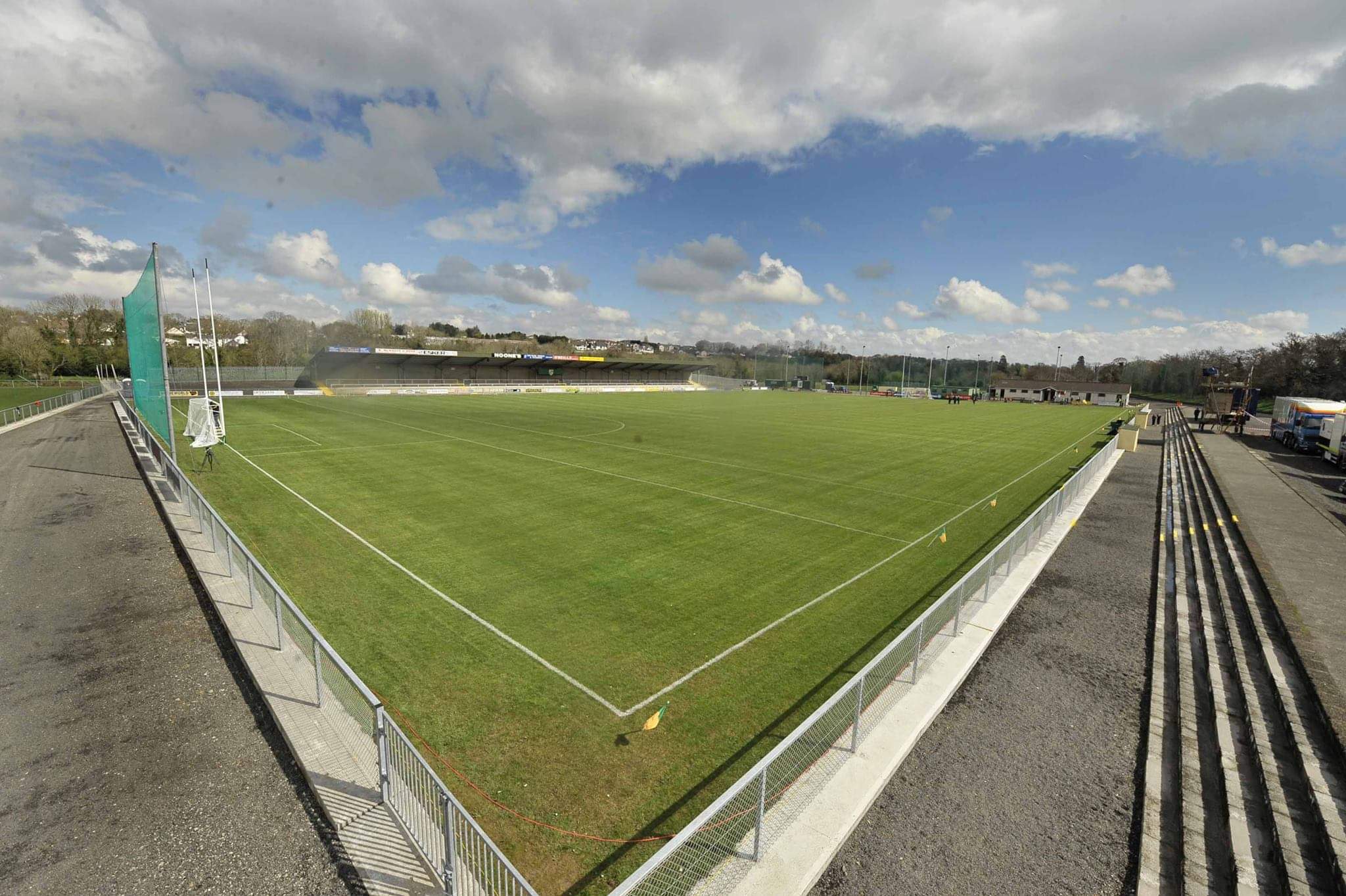 Watty Graham Park, Watty Graham's GAA, GlenGAA ground · 2.5 mi
 Craigadick Picnic AreaPicnic place · 2.7 mi
Explorer Tom Craigadick Picnic Area has a bird that refuses to leave, probably because it likes the smell of old chips. It’s south…
 Altkeeran WaterfallWaterfall · 2.8 mi
Explorer Tom Altkeeran Waterfall’s New Year's resolution was to flow a little bit faster next year. It’s basically just a river…
 Corick MountainMountain / peak · 5.5 mi
Explorer Tom Corick Mountain in County Derry acts like it’s got a secret life when nobody is looking at it, probably rearranging its…
 Carn HillMountain / peak · 6.7 mi
Explorer Tom Carn Hill would order a massive portion of chips with extra gravy if it could get to the chippy downstairs. It's…
 Craig-na-ShokeCliff · 6.7 mi
Explorer Tom Craig-na-Shoke in County Derry is a cliff known as Eagle's Rock, probably because an eagle once got its hat stuck there…
More woods, forests and old trees in County Derry · All of County Derry

What do you know about this place?Tap to add a comment or ask a question