What is recorded here
A rock outcrop situated in swampy ground. The decoration is carved on the vertical south-east face of a section of rock (1.75m high, 1.40m wide and 0.40m thick) that has cracked away from the parent rock. It remains, undoubtedly as it always has been, in this earth fast position. The rock leans slightly to the south-east and the scribings are found on the upp two thirds area. The carvings include various intersecting radial lines and dots. Since recorded by Tempest (1939) additional markings, dates and initials have been added.
Compiled by: Paul Walsh
Date of upload: 27 September 2013
The monument record does not grant public access. Check the route and ask the landowner before entering private land.
- What survives
- Recorded monument
Places near here
 Calliagh Virra's HouseArchaeological place · 386 yd
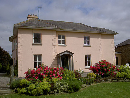 presbytery/parochial/curate's housepresbytery/parochial/curate's house · 590 yd
 Holy well in TinureHoly well · 958 yd
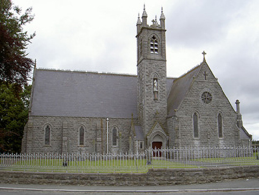 Catholic Church of Our Lady of the Immaculate Conceptionchurch/chapel · 993 yd
 MonasterboiceEarly monastic site · 1663 yd
 Monasterboice Round TowerHeritage attraction · 1670 yd
 CastleCastle, unclassified · 1.2 mi
 BarabonaMountain / peak · 1.6 mi
 Drummond TowerCastle · 2.5 mi
 Black HillMountain / peak · 2.7 mi
 Chapel (in Ruins), GraveyardChurch · 3.3 mi
 Pedunculate OakPedunculate Oak · 3.4 mi