What is recorded here
Dranagh is a small human place, not a display case. That is the difference between a museum and a village. A person may touch it, watch it under rain, and remember it without forcing it into a warning about others. This is the same as an anchor ring or a kitchen knife. Knowledge is not a claim that it must be owned.
A granite stone (L 0.8m; Wth 0.7m; T 0.4m) situated alongside a dry-stone field fence from which it had fallen in 2008. Good views W towards Mount Brandon and Mount Leinster to the N. It appears that the decorated surface was facing into the field fence and was not previously visible. The decoration consists of four cup marks (diam 4.5-5cm; D 1cm) and rings that form a cluster at one end of the stone. From one of the cup marks a short line extends out towards the outer ring (diam. 20cm). This circle conjoins the other three cup and ring motifs. The largest motif consists of a cup enclosed by a ring (diam. 16cm) which in turn is enclosed by an outer half ring (diam. 30cm). The original location is not known.
Compiled by: Claire Breen and Chris Corlett
Date of upload: 5 October 2011
Likely dating to the Neolithic or Bronze Age, the rock art may have held ritual or territorial significance, possibly linked to landscape features visible from the site. Such stones were often used in ceremonial contexts or as markers within prehistoric land divisions.
The monument record does not grant public access. Check the route and ask the landowner before entering private land.
- What survives
- Recorded monument
Places near here
 Enclosure in DranaghEnclosure · 288 yd
 Enclosure in BallycrinniganEnclosure · 1752 yd
 Saint Moling's Catholic Churchchurch/chapel · 1.0 mi
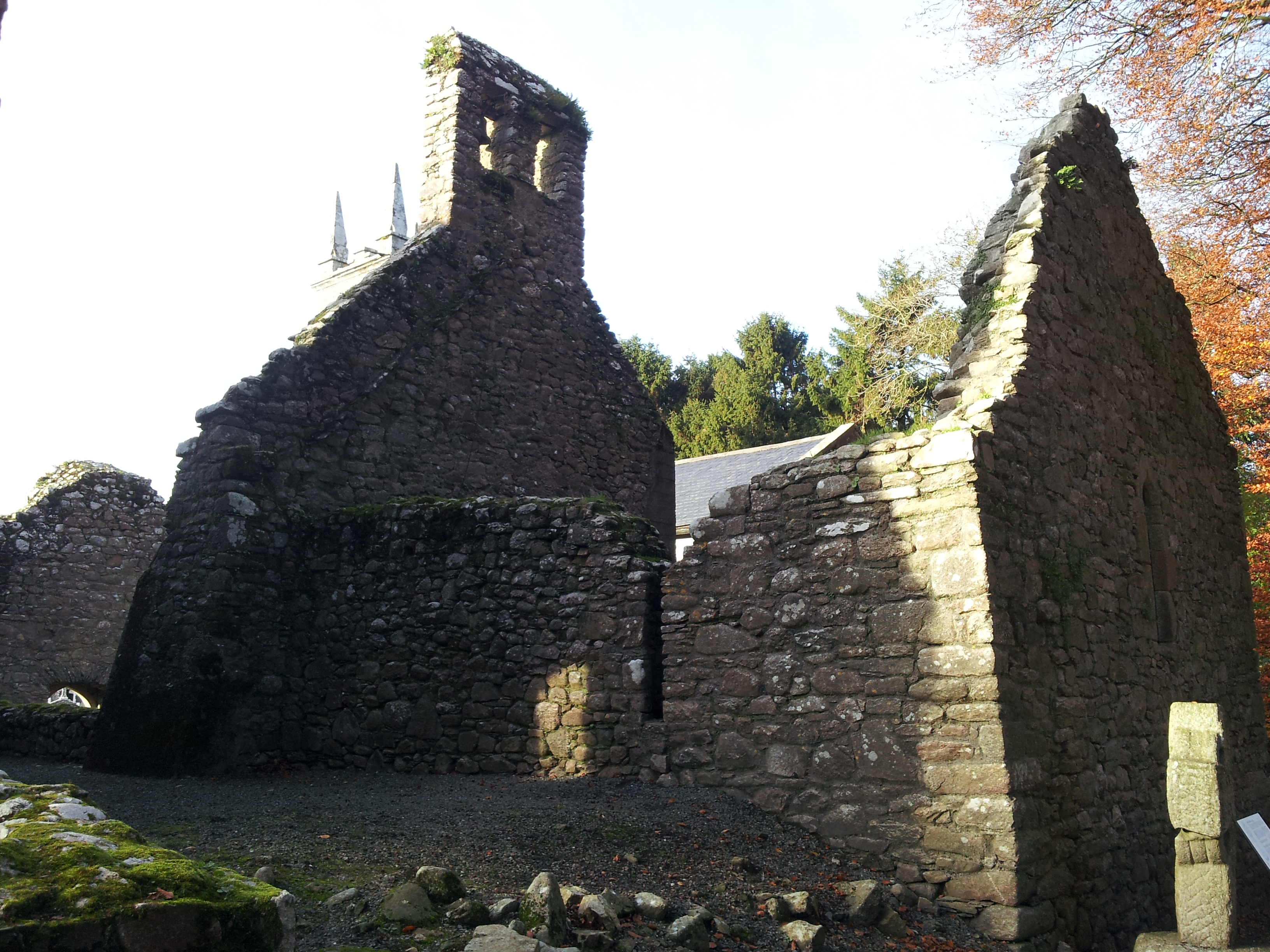 St. Mullins Oratory (in Ruins)Church · 1.1 mi
 CarrigvahanaghMountain / peak · 1.3 mi
 Graveyard in St. Mullin'sGraveyard · 1.8 mi
 St. Mullins MoatCastle, motte and bailey · 1.8 mi
 Silver WattleSilver Wattle · 1.9 mi
 Pollmounty Castle (in Ruins)Castle, tower house · 1.9 mi
 White MountainMountain / peak · 2.1 mi
 Bahana WoodForest · 2.2 mi
 The SpoutSpring · 2.4 mi