What is recorded here
Five even cupmarks sit on a flat shale slab beside a woodland well in County Kilkenny. The stone may have been moved to edge the water, yet the marks still face upward like a small offer made to rain, travel or memory.
Beside a well on the NE side of a footpath in mixed natural woodland, on a steep NE-facing slope. A firmly set shale or slate stone (dims 0.6m NW-SE; 0.4m NE-SW; max. H 0.18m at SE and 0.02-0.03m at NW) with a flat upper surface. There are five fairly evenly distributed cupmarks on the flat surface. Four of them measure 0.06-0.07m in diameter with a depth of 0.03-0.4m and one (at the thin edge of the stone) measures 0.05-0.06m in diameter with a depth of 0.02m. The stone may be in a secondary position having been used to form the NW edge of the pool and a flat surface.
Compiled by: Michael Moore and Mary Tunney
Date of upload: 1 July 2013
The monument record does not grant public access. Check the route and ask the landowner before entering private land.
- What survives
- Recorded monument
Places near here
 Carranroe Lower Ringfort (rath)Archaeological place · 1158 yd
 Ivy Housefarm house · 1425 yd
 farm housefarm house · 1472 yd
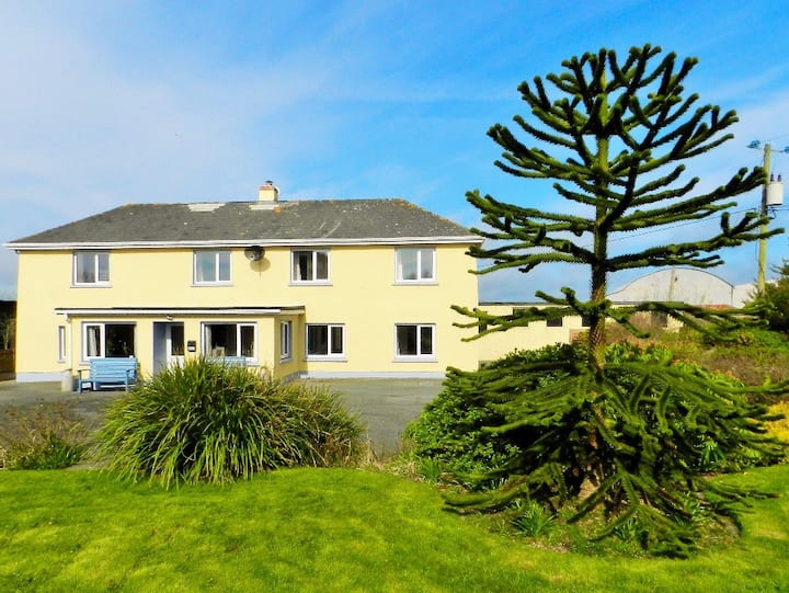 Habitation site in BallyanneHabitation site · 1547 yd
 Castle (Site of)Castle, unclassified · 2.0 mi
 CastleCastle, unclassified · 2.0 mi
 Silver WattleSilver Wattle · 2.5 mi
 Forest Of The DunbrodyForest · 2.6 mi
 Lacken HillMountain / peak · 2.8 mi
 Crutched FriarsMemorial · 3.0 mi
 Graveyard in St. Mullin'sGraveyard · 3.8 mi
 The SpoutSpring · 4.0 mi