What is recorded here
Tankardsrock in County Louth carries two cup and ring motifs on a slightly sloping plateau, one throwing radial grooves from its central dimple while the other leans against a curving line. Some grooves may be natural fissures or old plough marks, blurring the boundary between human intention and earth movement. The rock remains ambiguous, yet the repeated shape suggests someone marked the slope before written records arrived.
The following description is derived from both the published 'Archaeological Inventory of County Louth' (Dublin: Stationery Office, 1986) and the 'Archaeological Survey of County Louth' (Dublin: Stationery Office, 1991). In certain instances the entries have been revised and updated in the light of recent research.
Date of upload/revision: 17 July 2007
Slightly sloping rock plateau with two cup and ring motifs, one of which has radial grooves running from the central cup. Some of these grooves may be natural fissures or old plough marks. The other motif has an adjacent curving line. (CLAJ 1982, 110)
The monument record does not grant public access. Check the route and ask the landowner before entering private land.
- What survives
- Recorded monument
Places near here
 IndicatedEnclosure · 826 yd
 Catholic Church of the Immaculate Conceptionchurch/chapel · 966 yd
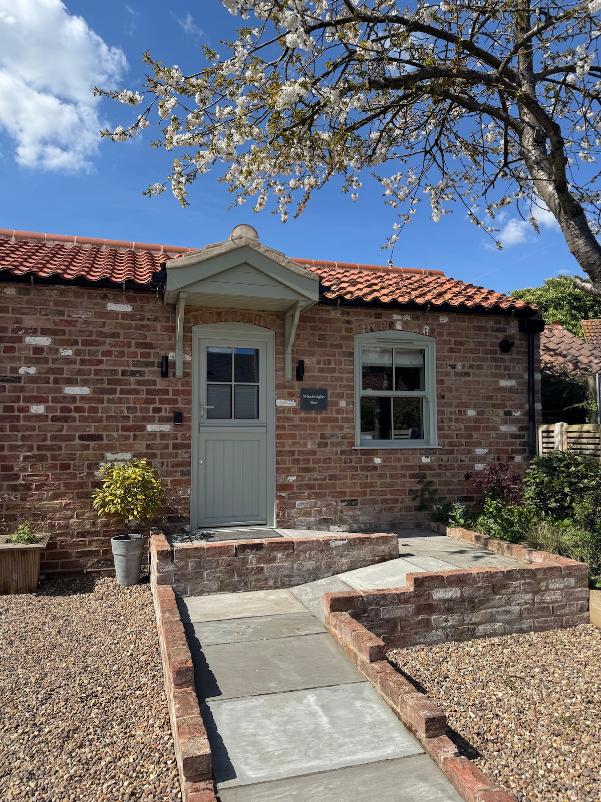 Habitation site in DonaghmoreHabitation site · 1048 yd
 Dun DealganCastle, motte and bailey · 1.1 mi
 Castletown MotteArchaeological place · 1.1 mi
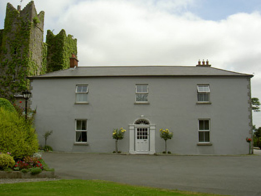 Dún Lughaidhhouse · 1.3 mi
 Dundalk CentralHeritage attraction · 1.8 mi
 Photo GalleryHeritage attraction · 1.8 mi
 BallybarrackMountain / peak · 2.2 mi
 Maid of ErinMemorial · 2.2 mi
 Bombing 1975Memorial · 2.3 mi
 Sky HillMountain / peak · 3.3 mi