What is recorded here
In 1949 a bulldozer stripped topsoil from a low drumlin in Hempstown Commons and revealed a hidden cist roofed by two slabs. One sandstone slab, triangular and a metre long, wore scattered pecked marks on its underside: a horseshoe-shaped hollow, small cups, conjoined circles, and a lozenge with an incised edge. The machine did not understand what it had broken open. It had only removed dirt from a chamber where someone had spent hours striking stone to make shapes that still resist explanation.
In 1949, a cist (KD020-015001-) was accidentally uncovered during the bulldozing of topsoil from the highest point of a low drumlin to expose gravel deposits. It was roofed by two slabs, one of which was decorated on its underside. It is a sandstone slab, roughly triangular in shape with one end coming to a point (dims. L 1m; max Wth 0.7m; T 0.2m). One surface carried a pecked decorative pattern of several scattered motifs, including a penannular or horseshoe-shaped pecked area, small pecked cupmarks, a pair of conjoined pecked circles, irregular patches of pecking, and a pecked lozenge-shaped area with an incised outline. (Hartnett 1950, 193-8; Waddell 1970, 120)
Compiled by: Gearóid Conroy
Date of upload: 10 June 2011
The rock art is likely from the Neolithic or Early Bronze Age, given the presence of a cist burial, and may represent symbolic or ritual markings associated with funerary practices. The decorated slab could have held spiritual or social significance for the local prehistoric community.
The monument record does not grant public access. Check the route and ask the landowner before entering private land.
- What survives
- Recorded monument
Places near here
 Enclosure in TinodeEnclosure · 935 yd
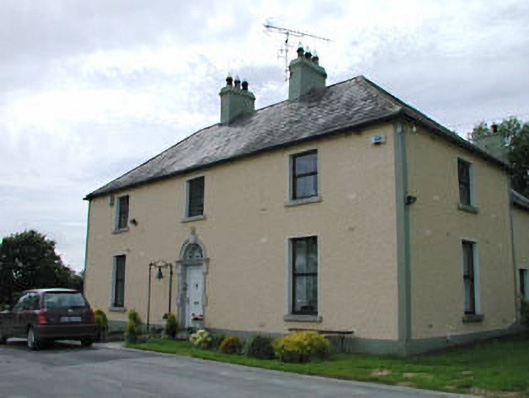 Catholic Church of Our Lady of Mercypresbytery/parochial/curate's house · 1515 yd
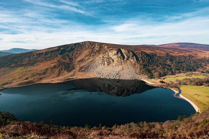 IndicatedFairy fort / earthen ringfort · 1.1 mi
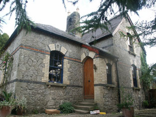 Tinode Houseworker's house · 1.2 mi
 CastleCastle, tower house · 1.6 mi
 Cupidstown HillMountain / peak · 1.7 mi
 Rock WoodForest · 1.9 mi
 Site of CastleCastle, unclassified · 2.2 mi
 OldcourtMemorial · 2.3 mi
 Blessington DemesneWood · 2.4 mi
 The Square RenewalMemorial · 2.4 mi
 Saggart HillMountain / peak · 3.3 mi