What is recorded here
This stone was discovered during 1994 when a field bank was removed. It is a rough sandstone pillar with a blunt pointed top and a triangular cross-section (H 0.45m; dims c. 0.25m x c. 0.17m). There are four incised V motifs on one face. (Corlett 1999; Eogan 2011, 13)
Compiled by: Michael Moore
Date of upload: 3 March, 2017
Likely dating to the Neolithic or Bronze Age, the V-shaped incisions may represent symbolic or ritual markings, possibly linked to territorial, ceremonial, or astronomical functions. No specific folklore is recorded for this site.
The monument record does not grant public access. Check the route and ask the landowner before entering private land.
- What survives
- Recorded monument
Places near here
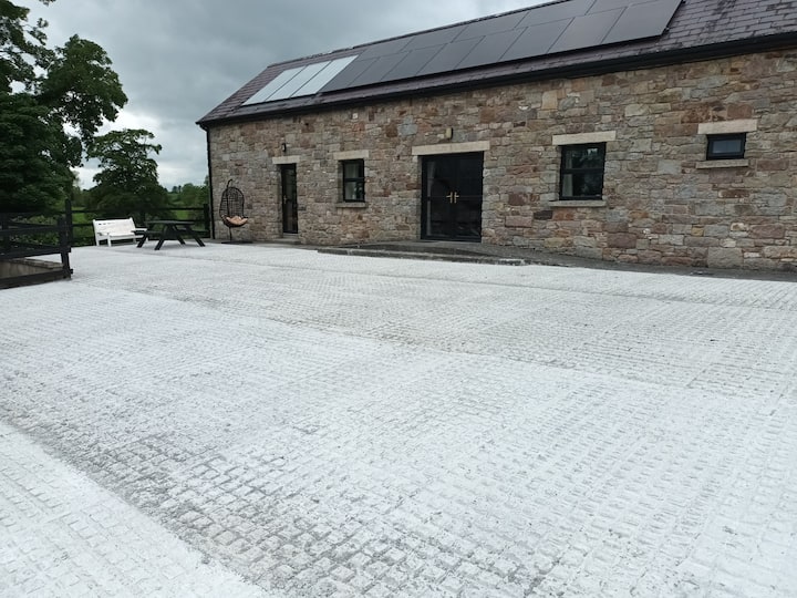 RathcarnFairy fort / earthen ringfort · 676 yd
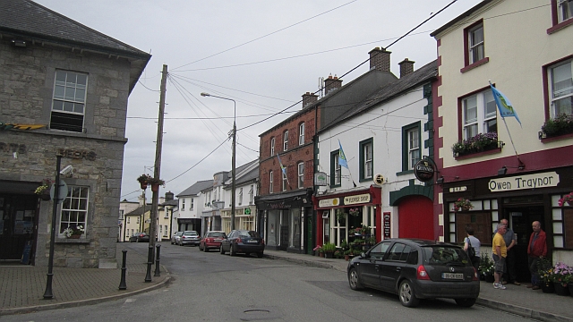 IndicatedFairy fort / earthen ringfort · 1038 yd
 KillaruggleChurch · 1438 yd
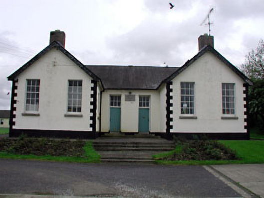 Nobber National Schoolschool · 1632 yd
 MoatCastle, motte and bailey · 1.0 mi
 Nobber GreenwayMemorial · 1.1 mi
 Gallows HillMountain / peak · 1.1 mi
 Common LimeCommon Lime · 1.6 mi
 Ugly HillMountain / peak · 1.8 mi
 European YewEuropean Yew · 1.8 mi
 Loughbrackan FortCastle, motte and bailey · 2.4 mi
 Owenroe and Moynalty DrainageMemorial · 4.5 mi