What is recorded here
Situated on a fairly low NW-SE ridge. This is a circular grass and rush-covered area (diam. 36m N-S; 33m E-W) sloping down to the SE. It is defined by an earth and stone bank (Wth of base 3.5-6m; int. H 0.4m; ext. H 0.9-1.4m) and hedge ENE-W-N with some evidence of outer facing stones. There is no visible fosse and the entrance (Wth of base 2.5m) is at E.
The above description is derived from the published 'Archaeological Inventory of County Meath' (Dublin: Stationery Office, 1987). In certain instances the entries have been revised and updated in the light of recent research.
Revised by: Michael Moore
Date of revision: 26 October 2018
The monument record does not grant public access. Check the route and ask the landowner before entering private land.
- What survives
- Recorded monument
Places near here
 LisnanailFairy fort / earthen ringfort · 1061 yd
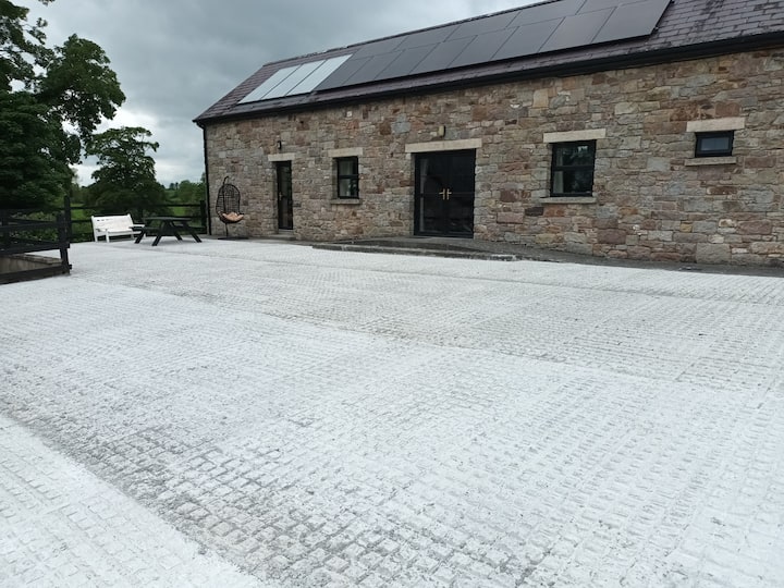 RathcarnFairy fort / earthen ringfort · 1090 yd
 KillaruggleChurch · 1128 yd
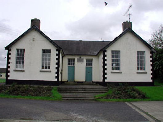 Nobber National Schoolschool · 1.5 mi
 MoatCastle, motte and bailey · 1.6 mi
 Gallows HillMountain / peak · 1.6 mi
 Nobber GreenwayMemorial · 1.6 mi
 CastleCastle, motte · 1.8 mi
 Ugly HillMountain / peak · 2.1 mi
 Common LimeCommon Lime · 2.2 mi
 European YewEuropean Yew · 2.3 mi
 Owenroe and Moynalty DrainageMemorial · 5.1 mi
Other information
Photo: Credit not shown in the picture search · Rights wording not checked; contact us if this picture should be removed