What is recorded here
A stone (dims. c. 0.9m x c. 0.6m) that was found somehwere in Carrigeen reputedly had a number of cup-marks and incised lines in one surface. (SMR file)
Compiled by: Michael Moore
Date of upload: 21 May, 2012
Likely dating to the Neolithic or Bronze Age, the rock art on the stone may have had ritual or symbolic significance, possibly linked to land use or spiritual practices. No specific folklore is recorded for this site.
The monument record does not grant public access. Check the route and ask the landowner before entering private land.
- What survives
- Recorded monument
Places near here
 Fulacht fia in Ballycarrigeen LowerFulacht fia · 531 yd
 Fulacht fia in CarrigeenFulacht fia · 532 yd
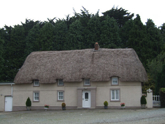 farm housefarm house · 1286 yd
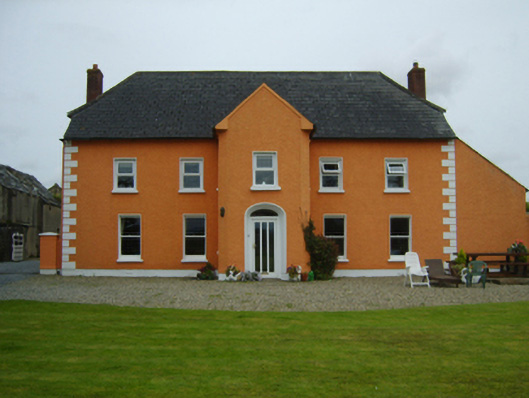 Ballintore Housefarm house · 1.4 mi
 The GroveWood · 1.9 mi
 IndicatedCastle, ringwork · 1.9 mi
 The CoilWood · 1.9 mi
 Father Murphy CentreHeritage attraction · 2.2 mi
 Ferns Castle (in ruins)Castle, Anglo-Norman masonry castle · 2.5 mi
 Battle of Vinegar Hill, 1798Monument · 6.0 mi
 Vinegar HillMountain / peak · 6.0 mi
 U.N. Peace MemorialMonument · 6.5 mi