DDiscover AloneMapAbout

Rock art in Cahernaman

Rock art
Computer-made picture that does not show Rock art in CahernamanNot a photo of this monument
Computer-made picture. It does not show this monument. · Report the wrong picture

The monument record does not grant public access. Check the route and ask the landowner before entering private land.

What do you know about this place?Tap to add a comment or ask a question

What you write will be public.

What is recorded here

In very wet boggy ground in rough terrain which has been partially cleared by machine, the lichen encrusted upper surface of sandstone boulder (H. (up to) 1.2m high) which is squarish in plan (1.9m x 1.7m, its long axis NE/SW), is inscribed with weathered rock art motifs which are very faint and largely obscured by…

Read the whole record
In very wet boggy ground in rough terrain which has been partially cleared by machine, the lichen encrusted upper surface of sandstone boulder (H. (up to) 1.2m high) which is squarish in plan (1.9m x 1.7m, its long axis NE/SW), is inscribed with weathered rock art motifs which are very faint and largely obscured by lichen. They include a cup-and-ring motif and lines of picking (Wth. 0.1–0.3m, D. 2– 4mm). The whole of the upper surface is marked by naturally occurring shallow NE/SW running cracks, the S half of this upper surface separated from the lower N half by a shallow step (H. c. 0.03m) running across its length. Carvings occur on either side of this step. N of the step, running perpendicular to the step, are four roughly equidistant parallel grooves c. 0.3m long and some 0.02m apart. A cup-and-ring motif having a cupmark (diam, 0.06m, D. 10mm) enclosed by a squarish ring (diam. 0.16m, D. 4mm, Wth. 0.01–0.02m) is found between the groove closest to NE and the second groove. A very shallow cupmark defined by a solidly picked circle of picking (diam. 0.05m, D. 3mm), is located between this second groove and the next groove at SW. While these grooves can be traced for c. 0.03m, photogrammetry shows that at least one of these lines (the line at the NE extente) continues from the step for a further c. 0.3m further than the initial 0.3m while the groove next to this continues to the lower section at S. Picked lines (L. c. 0.12m) run to within 0.38m of the SW edge of the upper surface. S of the central step towards the NE edge and SW of an amorphous area of picking (c. 0.35m NW/SE x 0.12m NE/SW), 4 lines conjoin a long narrow sub-rectangular shaped ‘ring’ (0.4m NW/SE x 0.08m NE/SW), the N extent of this which is partly formed by a natural crack which continues beyond the ring to the edge at NE. One of the lines extends from the crack N to the step, another extends SW (traceable for approx. 0.3m) where it partly encloses a cupmark (diam. 0.055m, D. 10mm) and a third line (a continuation of the NE side of the enclosing line) continues to within 0.08cm of the edge at E at which point it widens from 0.01m to 0.03m and continues to the edge, partly enclosing a cupmark (diam. 0.06m, D. 0.01) which is truncated by the panel’s edge. The fourth line, a continuation from the N half of the panel of the second groove from the NE edge, runs roughly parallel to the step before meeting the crack forming the N part of the sub-rectangular ring. To SW, there are two irregular shaped clusters of picking (c. 0.08m x 0.03m, D. 4mm) and curvilinear lines of picking which also extend to the edge. Towards the SW corner, two equi-sized parallel oblong-shaped depressions (0.08m x 0.03m), are 0.04m apart. 6+ pickmarks (diam. 3mm, D. 3mm) are visible around the rim of a one of two cupmarks (diam. 0.06m, D. 0.12) NE of these depressions. The level surface of a second larger boulder to S appears to be devoid of carving. Dingle Bay is visible to NNW.

From the National Monuments Service (Archaeological Survey of Ireland) record KE070-139

Places near here

Photo credits
  • Maker not stated on source page, www.flickr.com
  • Maker not stated on source page, www.alamy.com
  • Maker not stated on source page, account.travel
  • Maker not stated on source page, commons.wikimedia.org
  • Discover Ireland (individual photographer not stated), Discover Ireland
  • Josh Jackson, Wikimedia Commons · CC BY 2.0
  • photo taken by SteffenMP ( de:Benutzer:SteffenMP ), Wikimedia Commons · CC BY-SA 3.0
  • Colin Park, Geograph · CC BY-SA 2.0
  • Rod Allday, Geograph · CC BY-SA 2.0
Enclosure in BoulerdahEnclosure · 423 yd

Explorer Tom Enclosure in Boulerdah is up on Meelin, reviewing its visitors with the silence of a disappointed parent. It’s got…

Fairy fort / earthen ringfort in CahernamanFairy fort / earthen ringfort · 552 yd

Explorer Tom This giant bivallate rath in Cahernaman thinks Dublin tourists are just noisy goats in fancy clothes. It overlooks the…

Fairy fort / stone ringfort in CahernamanFairy fort / stone ringfort · 566 yd

Explorer Tom Fairy fort / stone ringfort in Cahernaman is like that uncle at the wedding who ate all the canapés and left only…
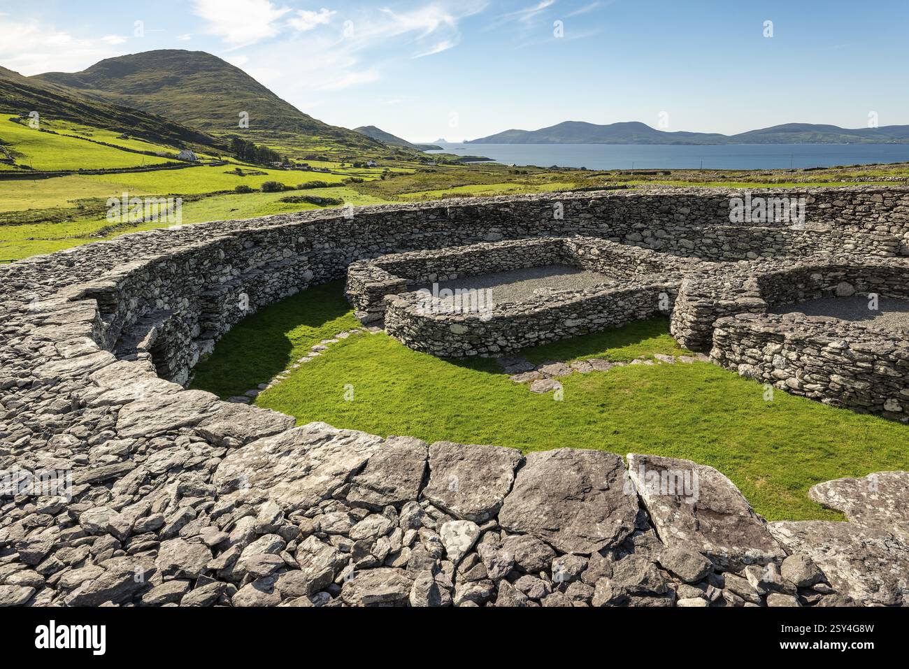
Enclosure in Boulerdah,reacaslagh (iveragh By.)Enclosure · 902 yd

Explorer Tom Enclosure in Boulerdah, Reacaslagh actually means 'The Place Where My Uncle Dropped His Sandwich.' I made that up…

Standing stone in KnockaneyoulooStanding stone · 1193 yd

Explorer Tom Standing stone in Knockaneyouloo is stuck in a field boundary like a stubborn toothpick. It’s been there since the…
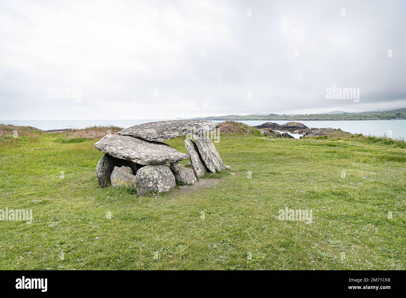
Wedge tomb in CaherlehillanWedge tomb · 1624 yd

Explorer Tom Wedge tomb in Caherlehillan hosted a fake royal visit from a king who was actually just a very confused farmer. It’s…

Graveyard in CaherlehillanGraveyard · 1.0 mi

Explorer Tom Graveyard in Caherlehillan thinks the road leading to it is rude for not having better potholes. It has eighteen graves…
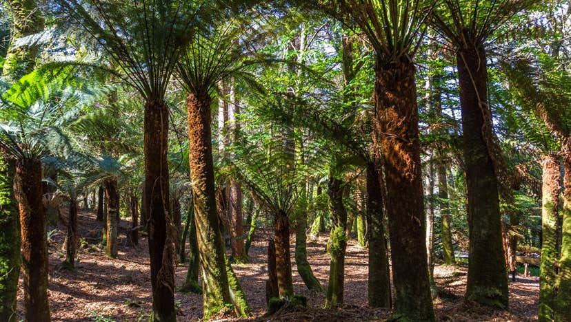
Kells Bay GardensGarden · 1.7 mi

Explorer Tom Kells Bay Gardens rises above Dingle Bay with palms, bamboo and tree ferns so exuberant that Kerry briefly looks as if…
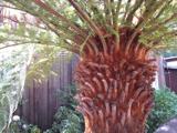
Soft Tree-fern1.7 mi

Explorer Tom This Soft Tree-fern in County Kerry would spend its lotto win on a very expensive haircut. It thinks it’s the main…
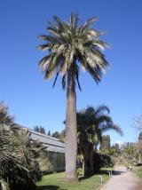
Chilean wine palm1.7 mi

Explorer Tom Chilean wine palm in County Kerry made the map makers look foolish because they forgot to check if it actually grew…

Kells Mtn East TopMountain / peak · 1.8 mi

Explorer Tom Kells Mtn East Top in Kerry has a secret it would tell after a few pints: it’s actually two mountains pretending to be…

Kells BeachBeach / strand · 1.9 mi

Explorer Tom Kells Beach tucks a sandy crescent beside a small harbour on the northern edge of Kerry's Iveragh Peninsula, and Tom…

More archaeology and monuments in County Kerry · All of County Kerry

Add to this placeAdd a picture Add a detailed tip Add a story

Explore the map1,095,414 places to discover

Next place · or swipeEnclosure in Boulerdah