What is recorded here
Machines scarred the large stone when men dragged it from the soil, yet the old cups and circles still mark its surface. The valley has kept both stones hidden since people stopped reading them, waiting for boots or tyres to reveal what memory had forgotten.
In August 1982, during land development work, 2 boulders, both with cup-and-circle motifs, were discovered under about .2m of soil in a fairly level field on the E side of the valley that extends NE from Dingle Town. Both have now been placed against the S field boundary.
The larger stone (KE043-226----), measuring 2.34m x 2.24m, was found decorated face upwards. Eleven cup-and-circles and one solitary cup-mark occupy less than half the upper surface, the remainder being undecorated. Some of the circles appear gapped but this may not be deliberate as the motifs are considerably weathered.
The second stone (KE043-226001-), a roughly rectangular boulder, measuring .88m x .66m, was found decorated face downwards. A single motif, a cup-and-3 circles, occurs at the edge of one face; the outer circles tend towards an oval shape.
To see a 3D model of this stone visit: https://skfb.ly/6xEQU
The above description is derived from J. Cuppage (compiler) 'Corca Dhuibhne. Dingle Peninsula archaeological survey.' Ballyferriter. Oidhreacht Chorca Dhuibhne (1986), no. 170. In certain instances the entries have been revised and updated in the light of recent research.
Date of upload: 29 May 2013
In improved pasture (82m OD), on a WSW-facing slope. Excellent view of Dingle Harbour to SW and overlooked by higher ground WSW->W->N->E->SE including Ballysitteragh mountain to N and Sugar Loaf hill to NE. According to Cuppage (1986, 58-9), two boulders (KE043, 226---- and KE043-226001-) were discovered during land development works in August 1982. They were found under c. 0.2m of soil in a fairly level field on the E side of the valley that extends NE from Dingle Town. The large stone (KE043-226----) was found face up (Cuppage, ibid) and is now currently resting up against the NE side of a linear drystone field wall (long-axis NW-SE) along with a number of other loose stones which have been placed along this boundary. A slightly rough and fractured, ex-situ sandstone (dims. 3.02m NW-SE; 2.05m NE-SW; max. T 0.34m) having a subrectangular decorated surface (dims. 1.35m NW-SE; 0.90m NE-SW) which is currently NE-facing and obscured by numerous lichens. Machinery marks are present, evidently derived from unearthing the stone and moving it to its present location. The decorative elements are very weathered and consist of eleven cup-and-ring motifs and a cupmark, which occupy approximately one half of the surface.
Compiled by: Alison McQueen and Vera Rahilly
Date of upload: 7 July 2017
Likely dating to the Neolithic or Bronze Age, the cup-and-circle rock art may have had ritual or symbolic significance, possibly linked to water or fertility, given their location in a valley setting. No specific folklore is recorded for this site.
The monument record does not grant public access. Check the route and ask the landowner before entering private land.
- What survives
- Recorded monument
Places near here
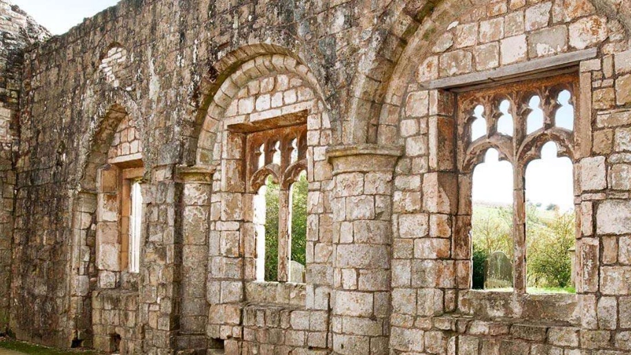 Settlement desertedSettlement deserted, medieval · 740 yd
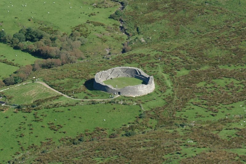 Fairy fort / earthen ringfort in An Baile Beag (tc Na Gleannta)Fairy fort / earthen ringfort · 794 yd
 An ChorrMountain / peak · 869 yd
 Saint James's Church (Dingle)church/chapel · 1.0 mi
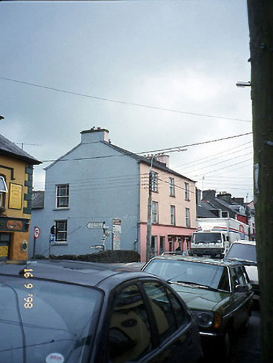 The Bridge Househouse · 1.1 mi
 Castle (Site of)Castle, tower house · 1.1 mi
 Caol Cronin - SeascapesGallery · 1.1 mi
 Charles HaugheyMemorial · 1.4 mi
 Ballintaggart Ogham StonesVisitor information · 1.5 mi
 Dingle Marina Dive CentreHeritage attraction · 1.6 mi
 Memorial to all who lost their lives in our seas.Memorial · 1.6 mi
 10Cliff · 1.9 mi