What is recorded here
The Poneens hide five small stone rooms at the head of the Dingle valley, perhaps a forgotten cattle pound or village. Grass fills their narrow floors, and their low walls disappear into the earth like broken teeth. People may have lived there, bred animals there, or simply passed through with heavy sacks and no time to look back.
Known locally as 'the Poneens', this site lies at the head of the valley that extends NE from Dingle Town. It consists of an irregularly-shaped field which contains traces of small enclosures and the foundations of 4 or 5 rectangular buildings. These latter average c. 4m in length x 1.8m in width internally and the grass-grown walls stand no more than .5 to .6m in height. The site has the appearance of a deserted settlement, possibly 18th/19th century in date, and there is a vague tradition of a village having been located here. The name 'Poneens' may be derived from the word póna, meaning cattle pound.
The above description is derived from J. Cuppage, ‘Corca Dhuibhne. Dingle Peninsula archaeological survey. Ballyferriter. Oidhreacht Chorca Dhuibhne’ (1986), no. 1555. In certain instances the entries have been revised and updated in the light of recent research.
Date of upload: 5 August 2013
The monument record does not grant public access. Check the route and ask the landowner before entering private land.
- What survives
- Recorded monument
Places near here
 Man-made underground passage in Baile An ÁsaighMan-made underground passage · 271 yd
 An ChorrMountain / peak · 922 yd
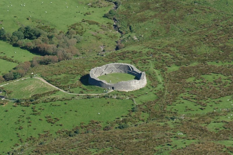 Fairy fort / earthen ringfort in An Baile Beag (tc Na Gleannta)Fairy fort / earthen ringfort · 1051 yd
 Mass-house in An Fearann (tc An Daingean),gort OnóraMass-house · 1.0 mi
 Saint James's Church (Dingle)church/chapel · 1.0 mi
 Castle (Site of)Castle, tower house · 1.1 mi
 Caol Cronin - SeascapesGallery · 1.1 mi
 Charles HaugheyMemorial · 1.4 mi
 Dingle Marina Dive CentreHeritage attraction · 1.5 mi
 Memorial to all who lost their lives in our seas.Memorial · 1.5 mi
 Ballintaggart Ogham StonesVisitor information · 1.8 mi
 An ScraigMountain / peak · 2.0 mi
Other information
Photo: Credit not shown in the picture search · Rights wording not checked; contact us if this picture should be removed