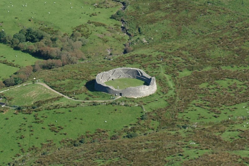
What is recorded here
An earthen ringfort in An Baile Beag measures forty-four metres across and still cuts the lower eastern slopes above Dingle. People later forced stone into the ancient bank, but the original earthwork likely predates those clumsy additions. A quernstone rests on the southeast wall like a forgotten offering, while the missing cave and circular structure suggest the site has already lost parts of itself. The fort does not need fairy tales to be strange; it has simply outlived the hands that kept it whole.
Internal diam. C. 44m N-S, c. 42m E-W.
This site forms part of the boundary between 2 large fields on the lower E slopes of the narrow valley that extends NE from Dingle town. The enclosing feature is now of very mixed construction, being comprised of sections of stone wall, sections of stone-revetted earthen bank, and some short sections of earthen bank. It is probable that the site was originally an earthen-banked ringfort, and that the stone wall and stone revetment are later features. Where best-preserved, the bank is 1.8 to 2.5m high externally and 1.3m high internally. There is a 2.07m wide entrance gap through the wall at SW. On the 1st edition of the OS map, a small circular structure, probably a clochaun KE043-231002-, was marked at the SE side of the site, but this no longer survives. There is no trace either of the 'cave' KE043-231003- noted on the Fair Plan. A quernstone now lies on the wall at SE.
The above description is derived from J. Cuppage, ‘Corca Dhuibhne. Dingle Peninsula archaeological survey. Ballyferriter. Oidhreacht Chorca Dhuibhne’ (1986), no. 313. In certain instances the entries have been revised and updated in the light of recent research.
Date of upload: 6 August 2013
This remains an important historical record, but the official description says the monument is no longer visible or has been destroyed. The monument record does not grant public access. Check the route and ask the landowner before entering private land.
- What survives
- No visible remains or recorded as destroyed
Places near here
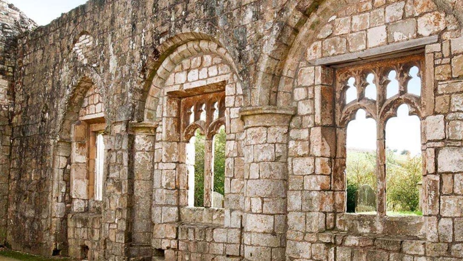 Settlement desertedSettlement deserted, medieval · 1051 yd
 Saint James's Church (Dingle)church/chapel · 1067 yd
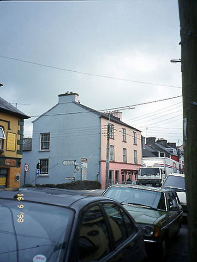 The Bridge Househouse · 1072 yd
 Font in An GróbhFont · 1078 yd
 Castle (Site of)Castle, tower house · 1193 yd
 Caol Cronin - SeascapesGallery · 1245 yd
 An ChorrMountain / peak · 1626 yd
 Charles HaugheyMemorial · 1740 yd
 Memorial to all who lost their lives in our seas.Memorial · 1.1 mi
 Dingle Marina Dive CentreHeritage attraction · 1.1 mi
 Ballintaggart Ogham StonesVisitor information · 1.3 mi
 10Cliff · 1.6 mi
Other information
Photo: Credit not shown in the picture search · Rights wording not checked; contact us if this picture should be removed