What is recorded here
An Choill Mhór holds two faint cup-and-ring marks on a fractured sandstone ledge, facing west across rough pasture toward Brandon Bay. The stone sits barely thirty centimetres above ground, small enough to miss unless someone points it out, yet its markers still trace ancient sightlines along the coast. Perhaps people read that ledge as a boundary, a meeting place or a warning because it faced the sea and mounted the hills.
In rough pasture (78m OD), on a NW-facing slope. Located c. 8m to E of trackway and c. 75m to S of R560. Excellent views of Brandon Mountain range, Brandon Bay and Maharee Islands NW-> N->NE; Overlooked by Slievanea mountain to SW. A small and inconspicuous earthfast stone protruding above ground level. It is a smooth and fractured sandstone (dims. 0.75m NW-SE; 0.68m NE-SW; max. H 0.30m) with a subtriangular decorated surface (dims. 0.50m NW-SE; 0.25m NE-SW) having a WSW-facing aspect. There are two motifs c. 12cm apart and separated by a narrow fracture. The decorative elements consist of a cup-and-ring motif (overall diam. 16cm; ring Wth 2.5cm; D 3mm; cup diam. 10cm; D 14mm) at NW and a second cup-and-ring motif (overall diam. 13cm; ring Wth 1.5cm; D 2-3mm; cup diam. 6cm; D 11mm) at SE, which is very faint. Initially identified as rock art by Micheal Ó Coileáin, Heritage Officer, Kerry County Council in his unpublished MA thesis (2006).
Compiled by: Alison McQueen and Vera Rahilly
Date of upload: 7 July 2017
Probably dates to the Neolithic or Bronze Age, given the landscape setting and style typical of early prehistoric rock art in western Ireland. Such sites may have had ritual or territorial significance, possibly linked to seasonal movements or ancestor veneration.
The monument record does not grant public access. Check the route and ask the landowner before entering private land.
- What survives
- Recorded monument
Places near here
 Fulacht fia in An Choill Mhór (bar. Corca Dhuibhne)Fulacht fia · 195 yd
 Hut site in An Choill Mhór (bar. Corca Dhuibhne)Hut site · 315 yd
 Church in Cill An UrdráinChurch · 1391 yd
 Sliabh na nGabharMountain / peak · 1.4 mi
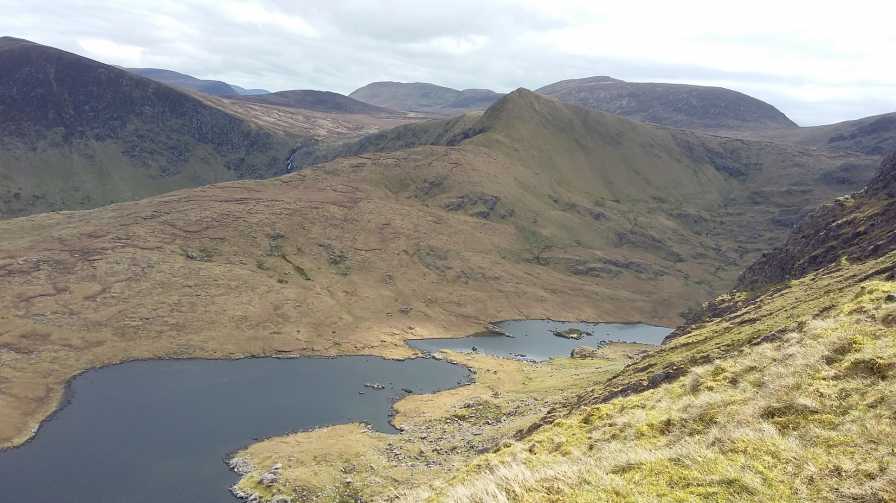 An StarraicínMountain / peak · 1.6 mi
 Séipéal Bhréanainn [Saint Brendan's Catholic Church]church/chapel · 1.7 mi
 Drom BeachBeach / strand · 1.8 mi
 Site of CastleCastle, unclassified · 2.4 mi
 Maughanablagher CliffsCliff · 2.4 mi
 An t'Oileán DubhIslet · 2.5 mi
 Hillville WoodWood · 2.5 mi
 An CheapaighBeach / strand · 2.6 mi