What is recorded here
Fitzgerald (1899-1902(e), 61-2) excavated portion of a togher found during turf cutting. It comprised a long ‘white oak’ plank ‘21and a half ft. in length [c. 6.55m] and 2 ft. in breadth [c. 0.6m] and 4 to 6 in. thick [c. 0.1-0.15m]’ found at a depth of ‘8 ft. [c. 2.4m]’, below which there was still ‘five more feet [c. 1.5m] of black peat’. One end of the plank rested on ‘the stem of a small yew tree’, and the other on ‘a stout oak bough’. The plank was held in place by ‘stout stakes’ of yew and oak on either side ‘about six feet apart [c. 1.8m], some two foot being left above the level of the plank’. The plank contained small mortice holes, ‘about four in. square [c. 0.1m] … 6 to 8 feet apart [c. 1.8-2.4m]’. Fitzgerald ascertained that such planks were regularly discovered in this part of the bog and were laid as if leading from the Kilberry direction to Derryvullagh Island, near the centre of the bog. The precise location of this togher was not recorded, but Fitzgerald says that it was near the cart track connecting Killart with Derryvullagh.
Compiled by: Gearóid Conroy
Date of upload: 09 October 2013
The monument record does not grant public access. Check the route and ask the landowner before entering private land.
- What survives
- Recorded monument
Places near here
 Enclosure in RathconnellwoodEnclosure · 1266 yd
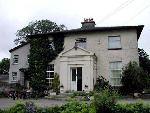 Skerries Housefarm house · 1.1 mi
 Enclosure in Skerries NorthEnclosure · 1.1 mi
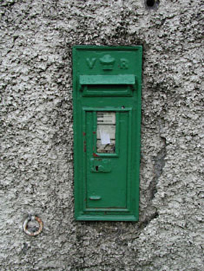 post boxpost box · 1.2 mi
 Derryvullagh IslandForest · 1.5 mi
 Ardscull MoatCastle, motte · 2.5 mi
 European BeechEuropean Beech · 2.5 mi
 History of Moat of ArdscullVisitor information · 2.5 mi
 Gorden Bennet Race memorialMemorial · 2.5 mi
 Site of CastleCastle, unclassified · 2.8 mi
 Battle of Kilrushbattle · 3.4 mi
 Athy War MemorialMemorial · 4.6 mi