
What is recorded here
Identified during an aerial photographic survey by Dr. Gillian Barrett on 13-7-1990. Aerial photograph (GB90.BC.06) shows the cropmark of a triangular enclosure defined by a fosse and set within a heart-shaped outer enclosure defined by two fosses. May be remnants of demesne landscaping, although none of the features appear on the 1st ed. of the OS 6-inch map (1838). The cropmark of a nearby enclosure (KD031-021----) c. 130m to the WNW, is also visible on the photograph. Skerries House located 120m to NNE with similar polygonal shaped enclosure or walled garden immediately SW of house as depicted on OS 25-inch map. Cropmark of polygonal shaped feature in field to S is similar in shape to the polygonal shaped enclosure to SW of Skerries House.
See attached image of Google Earth photographs taken 28/06/2018 which shows cropmark of KD031-021---- and possible designed landscape feature based on information supplied by Anthony Murphy.
Compiled by: Gillian Barrett
Revised by: Caimin O'Brien
Date of revised upload: 19 February 2019
The monument record does not grant public access. Check the route and ask the landowner before entering private land.
- What survives
- Recorded monument
Places near here
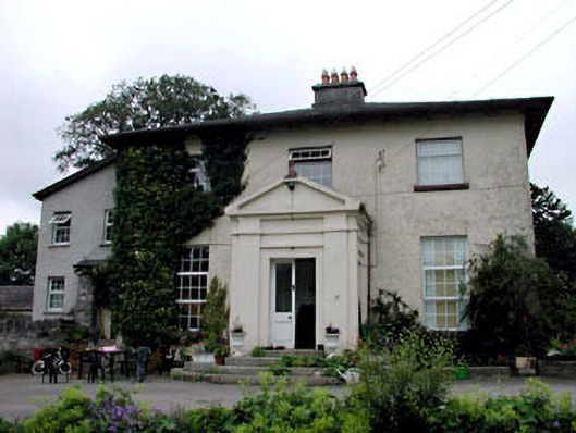 Skerries Housefarm house · 181 yd
 IndicatedEnclosure · 1394 yd
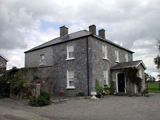 Moat Lodgefarm house · 1.1 mi
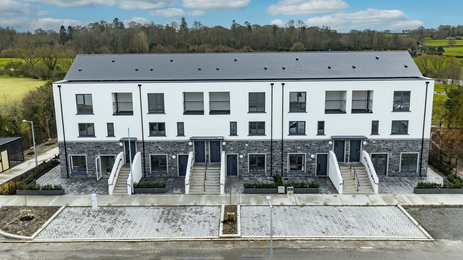 Enclosure in ArdnagrossEnclosure · 1.2 mi
 Ardscull MoatCastle, motte · 1.4 mi
 European BeechEuropean Beech · 1.5 mi
 History of Moat of ArdscullVisitor information · 1.5 mi
 Gorden Bennet Race memorialMemorial · 1.5 mi
 Derryvullagh IslandForest · 2.0 mi
 CastleCastle, unclassified · 2.6 mi
 Battle of Kilrushbattle · 3.3 mi
 1798 memorialMemorial · 4.0 mi
Other information
Photo: Credit not shown in the picture search · Rights wording not checked; contact us if this picture should be removed