What is recorded here
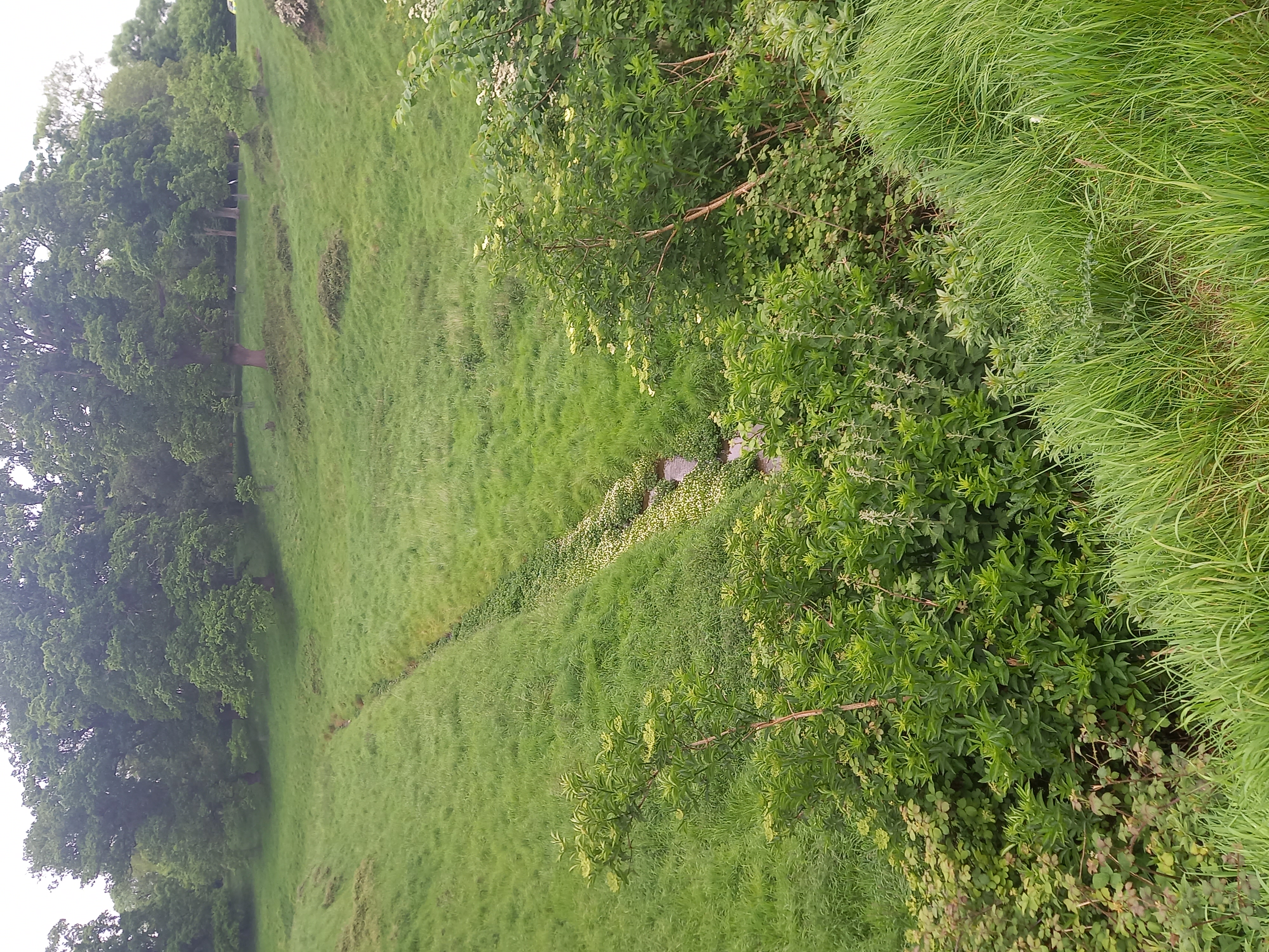
The Down Survey (1655-6) maps show a road running through Steelstown and Windmill Hill. The precise location of this road is unknown.
Compiled by Geraldine Stout
The monument record does not grant public access. Check the route and ask the landowner before entering private land.
- What survives
- Recorded monument
Places near here
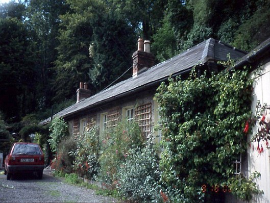 Ashgrovehouse · 94 yd
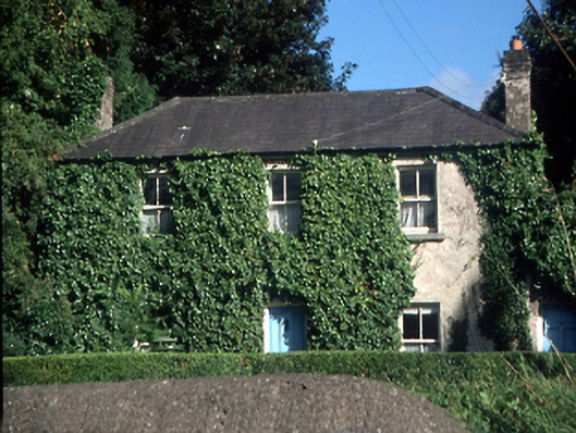 Glen Househouse · 220 yd
 Rag WellHoly well · 553 yd
 Castleknock CastleCastle · 696 yd
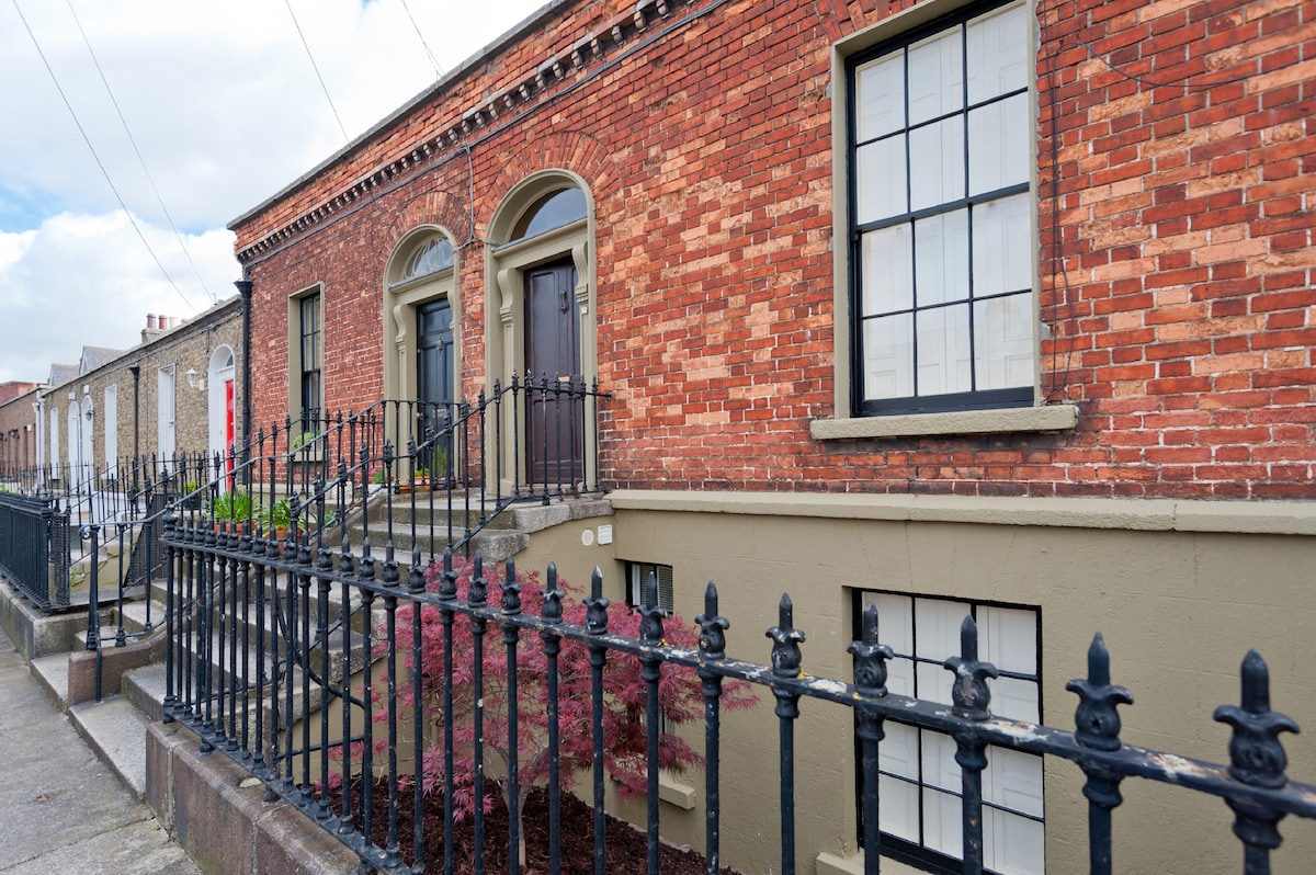 Habitation site in DiswellstownHabitation site · 707 yd
 Graveyard in Palmerstown LowerGraveyard · 1043 yd
 National Famine WayWalking route · 1368 yd
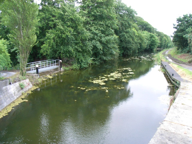 The Royal Canal WayWalking route · 1371 yd
 Furry GlenWood · 1663 yd
 Oldtown WoodWood · 1.4 mi
 Castle (in ruins)Castle, tower house · 1.5 mi
 Graveyard in Unknown TownlandGraveyard · 1.5 mi