What is recorded here
On a gentle W-facing slope S and W of the Dominican priory of Tulsk (RO022-114002-). Just S of the graveyard (RO022-114008-) the road (RO022-113002-) is crossed by an E-W road, visible on aerial photograph (CUCAP: AVH 96). This can be traced as far as a S-N section of Ogulla Stream(L c. 375m), but it is barely traceable as a slight depression (Wth c. 15m).
Compiled by: Michael Moore
Date of upload: 24 August 2010
The monument record does not grant public access. Check the route and ask the landowner before entering private land.
- What survives
- Recorded monument
Places near here
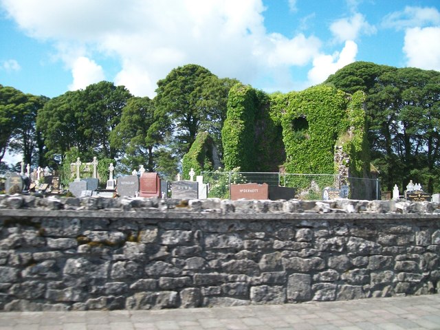 Grave YardGraveyard · 106 yd
 AbbeyReligious house, Dominican friars · 167 yd
 Cruachan Aí Heritage CentreMuseum · 222 yd
 IndicatedFairy fort / earthen ringfort · 251 yd
 CastleCastle, unclassified · 316 yd
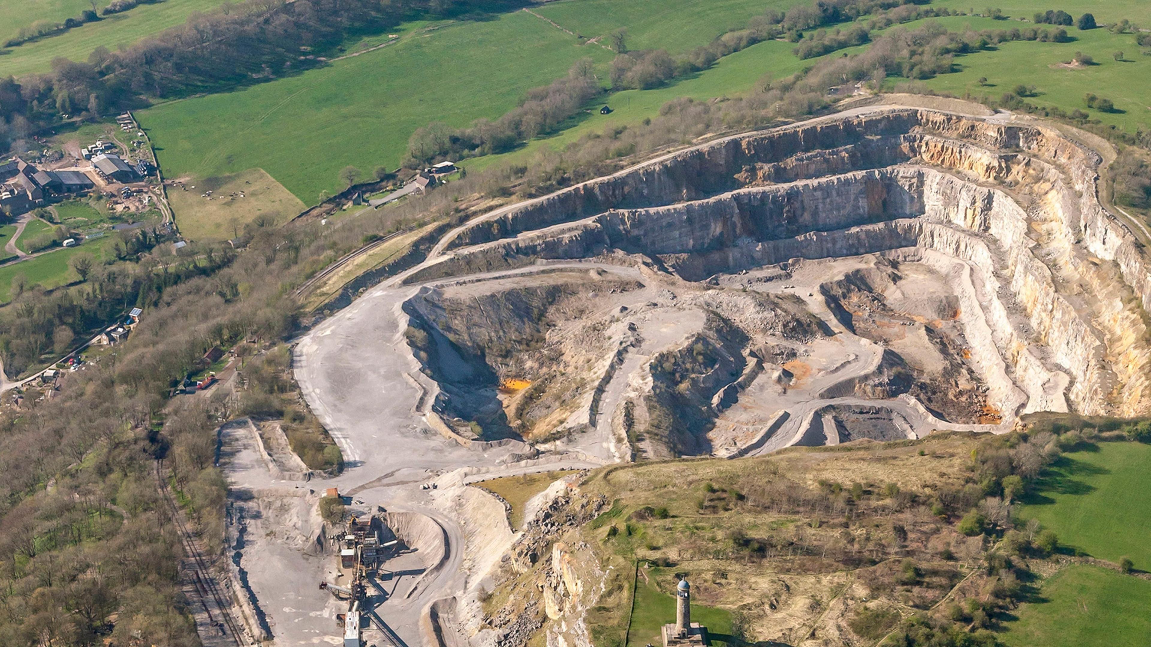 Quarry in Ardkeenagh (roscommon By.)Quarry · 1557 yd
 ToberagullaSpring · 1659 yd
 European ashEuropean ash · 1666 yd
 CastlerubyCastle, unclassified · 2.7 mi
 War of Independence Commemorative Military MemorialMemorial · 4.5 mi
 Sweet ChestnutSweet Chestnut · 6.2 mi
 Silver IslandIslet · 8.7 mi