What is recorded here
Situated on a slight S-facing slope and located just S of the present Dunshaughlin - Drumree road. A WNW-ESE metaled surface (Wth 12m) was encountered during archaeological monitoring (15E0125) by S. McGlade in Phase 1 of the archaeological mitigation connected with a housing development, and a section of it (L 42m) was excavated by the same archaeologist under the same licence (excavations.ie 2018:032). It consisted of patches of rounded stones with some gravel set into the subsoil and in some places incorporated the bedrock. It was bordered at S by an open drain (Wth 1.5m; max. D 0.7m) that was rock-cut in places and filled with a grey/brown sandy silt. The road even had a pothole (dims 2.1m x 1.78m; D 0.18m) filled with compact orange silt with some stone and animal bone beneath a compact grey clayey silt. The surface was uneven but there was a general slope down to the S. The road was covered by a light silty clay that had accumulated since its abandonment and contained occasional pieces of slag, animal bone, glass and a belt buckle. The road and its boundary drain ran parallel with the present road and was undoubtedly its medieval precursor. (McGlade 2020, vol. 1, 48-50)
Compiled by: Michael Moore
Date of upload: 9 December 2021
The monument record does not grant public access. Check the route and ask the landowner before entering private land.
- What survives
- Recorded monument
Places near here
 Enclosure in Roestown (ratoath By.)Enclosure · 111 yd
 EnclosureEnclosure, large enclosure · 131 yd
 Dunshaughlin Civic Officesoffice · 699 yd
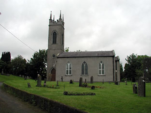 Saint Seachnall's Church (Dunshaughlin)church/chapel · 1044 yd
 Killeen CastleCastle, tower house · 2.1 mi
 Laurel WoodsWood · 3.0 mi
 Dunsany CastleCastle, unclassified · 3.1 mi
 Dunsany WoodWood · 3.2 mi
 Lismahon 1798 MemorialMonument · 3.7 mi
 Emerald ParkHeritage attraction · 4.4 mi
 Battle of Tara Hillbattle · 4.9 mi
 Battle of Tara (Ireland)Major battlefield · 4.9 mi