What is recorded here
On a SE-facing slope in pasture. Listed as ‘Earthwork’ in the RMP (1996) based on an L-shaped area hachured on the OS 25-inch plan (1897). Upon inspection in 1998, this proved to be a relict bend on a disused road that formerly led to a gravel pit.
Compiled by: Gearóid Conroy and Conn Herriott
Date of upload: 3-10-2025
The monument record does not grant public access. Check the route and ask the landowner before entering private land.
- What survives
- Recorded monument
Places near here
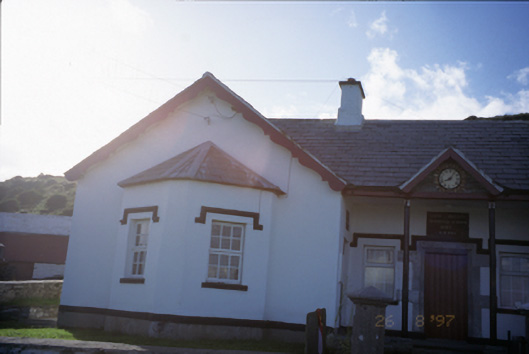 Saint Bridget's National Schoolschool · 855 yd
 CastleCastle, unclassified · 1176 yd
 IndicatedFairy fort / earthen ringfort · 1180 yd
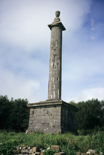 O'Brien's Monumentmonument · 1212 yd
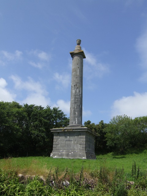 O’Briens MonumentMonument · 1218 yd
 Bridget's Well;St Bridget's WellSpring · 1261 yd
 John P. Holland CentreMuseum · 1.4 mi
 Liscannor Castle (in Ruins)Castle, tower house · 1.5 mi
 Cliffs of MoherCliff · 1.6 mi
 Sightseeing Cliffs of Moher SouthViewpoint · 1.7 mi
 Cliffs of Moher Visitor CentreVisitor information · 2.0 mi
 Sea StackMountain / peak · 2.2 mi