What is recorded here
Archaeological excavations (Excavation Licence 94E0152) carried out here in 1994 produced 'evidence of an extensive cobbled area, possibly a lane, with metal-working at the northern end. The complex was dated to the late seventeenth century.' (Simpson 1994, 1)
Compiled by: Claire Breen
Date of upload: 06 February 2013
The monument record does not grant public access. Check the route and ask the landowner before entering private land.
- What survives
- Recorded monument
Places near here
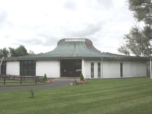 Saint Fergal's Catholic Churchchurch/chapel · 1012 yd
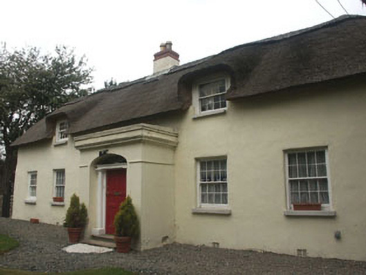 Thatch Cottagehouse · 1070 yd
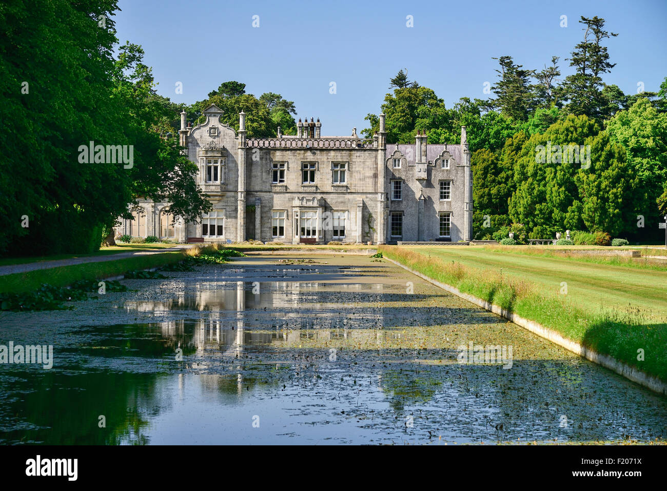 Kilruddery House and GardensHeritage attraction · 1094 yd
 Oldcourt CastleCastle · 1344 yd
 Cross (Socket Stone)Cross, High cross (present location) · 1347 yd
 Cross in Kilbride (rathdown By.)Cross · 1502 yd
 Germans WoodWood · 1577 yd
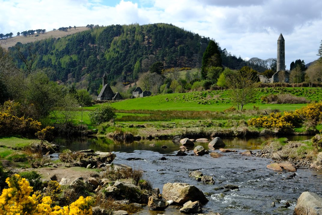 Manweiler's WoodWood · 1709 yd
 Johnny Fox's MemorialMemorial · 1.2 mi
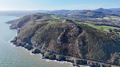 Bray HeadMountain / peak · 1.5 mi
 Lover's LeapNamed rock · 1.5 mi
 Naylor's CoveBeach / strand · 1.5 mi