
What is recorded here
Situated on a natural rise at the base of a stream valley. A burial ground (WI007-029001-) identified as a small square enclosure (dims. 5.8m x 6m) defined by a wall of uncoursed stone with an entrance (Wth c. 1.2m) at the E. It produced an early medieval cross-inscribed graveslab (possibly covering a long cist) (designated WI007-029002-), a fragment of another (designated WI007-029003-) and two simple granite crosses one with a small inscribed Latin cross (now in the NMI) (designated WI007-029004- and WI007-029005-). Not visible at ground level. (Kilbride-Jones 1939, 173-6)
The above description is derived from the published 'Archaeological Inventory of County Wicklow' (Dublin: Stationery Office, 1997). In certain instances the entries have been revised and updated in the light of recent research.
Date of upload: 19 November 2012
The monument record does not grant public access. Check the route and ask the landowner before entering private land.
- What survives
- Recorded monument
Places near here
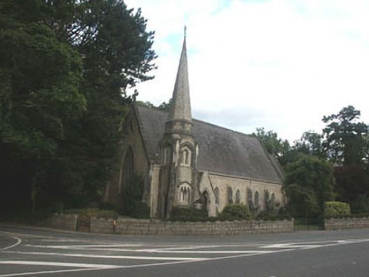 Saint Brigid's Church (Kilbride)church/chapel · 203 yd
 Church (in Ruins)Church · 208 yd
 IndicatedCastle, tower house · 905 yd
 CrossCross · 1169 yd
 Cross, FontCross · 1169 yd
 Lover's LeapNamed rock · 1294 yd
 European YewEuropean Yew · 1657 yd
 Monterey CypressMonterey Cypress · 1687 yd
 Oldcourt CastleCastle · 1732 yd
 Graveyard in BallymanGraveyard · 1.3 mi
 Johnny Fox's MemorialMemorial · 1.4 mi
 The Sugar Loaf WayWalking route · 2.2 mi
Other information
Photo: Credit not shown in the picture search · Rights wording not checked; contact us if this picture should be removed