
What is recorded here
National Monument in state guardianship No. 417. Situated on a low rise above a steep E-facing slope. A simple rectangular church (dims. 12.15m x 7.8m) with well-built walls of sandstone, granite and shale blocks of various sizes, substantially restored (H1.5-4.5m). The E gable has antae but the W end of the church appears to have been extended and the antae removed. The S wall has a flat lintelled doorway, and there is a small round-arched window towards the E end.
The above description is derived from the published 'Archaeological Inventory of County Wicklow' (Dublin: Stationery Office, 1997). In certain instances the entries have been revised and updated in the light of recent research.
Date of upload/revision: 17 December 2008
This monument is subject to a preservation order made under the National Monuments Acts 1930 to 2014 (PO no. 129/1940).
The monument record does not grant public access. Check the route and ask the landowner before entering private land.
- What survives
- Recorded monument
Places near here
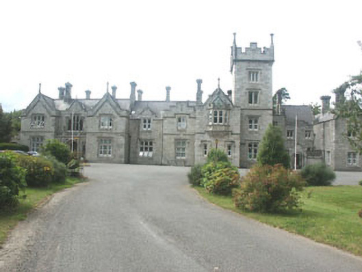 Kilcroney Housecountry house · 123 yd
 Cross in Kilbride (rathdown By.)Cross · 208 yd
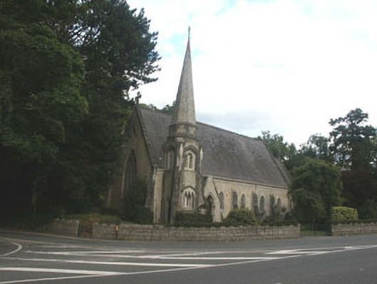 Saint Brigid's Church (Kilbride)church/chapel · 254 yd
 IndicatedCastle, tower house · 915 yd
 Lover's LeapNamed rock · 1087 yd
 Enclosure in CookstownEnclosure · 1135 yd
 European YewEuropean Yew · 1566 yd
 Monterey CypressMonterey Cypress · 1584 yd
 Oldcourt CastleCastle · 1.1 mi
 Graveyard in BallymanGraveyard · 1.3 mi
 Johnny Fox's MemorialMemorial · 1.3 mi
 The Sugar Loaf WayWalking route · 2.1 mi
Other information
Photo: 瑞丽江的河水 · CC BY-SA 4.0