What is recorded here
In a gently undulating landscape of pasture with some arable land. Part of St. Declan's way, known as the Rian Bó Phádraig running along an alignment of an existing modern road (Wth c. 3-3.5m) from townlands of Knockannaveigh/Ballygerald East at S (near New Inn) and continuing N c. 5km (long-axis N-S) to the townland of Lalor's Lot. Possible surviving section of original roadway (L c. 450m; max. Wth c. 10m) defined by low, earthen bank planted intermittently with thorn trees forming W side and defined by existing road to E side in the townland of Lalor's-Lot (at N-end of OS 6-inch map 69). This is shown on latest edition OS 6-inch map as field boundary to immediate W of existing road, planted with trees in places. This section of Rian Bó Phádraig continues N to Cashel (OS 6-inch map 61) and S, albeit intermittently, connecting the medieval ecclesiastical centres of Ardmore and Lismore, Co. Waterford. In 1998-1999 archaeological excavations along a pipeline route were carried out on the 'Old Road' to the S of Cashel which supposedly coincides with an ancient road known as Rian Bó Pádraig (Henry 2000, 190). There was no archaeological evidence found along the pipeline route to suggest that Rian Bó Pádraig ever extended along the part of the Old Road archaeologically examined (ibid.). However, the excavator noted that the Old Road was either built off or cuts through bedrock and that it is possible that any evidence of the ancient road was obliterated during road construction or upgrading (ibid.).
The road is cross-referenced with:
TS069-001---- (includeds TS061-071001-; TS061-071002-; TS061-071003-; TS061-071004-; TS061-071005-; TS061-071006-)
TS076-008---- (includes TS076-008---*; TS076-008001*; TS076-008002*; TS076-008003*; TS076-008004*; TS076-008005*; TS076-008006*; TS076-008007*; TS076-008008*; TS076-008009*; TS076-008010*; TS076-008011*; TS076-008012*; TS082-006----; TS082-006---*; TS082-006001*; TS082-006002*; TS082-006003*; TS082-006004*)
TS088-074---- (includes TS088-026001*)
TS088-026---- (includes TS088-026002*; TS088-026003*; TS091001----; TS091-01001*; TS091-01002*).
Reference:
Henry, M. 2000 St Patricksrock/Ladyswell/Moor/St Dominicks Abbey/Cashel/Loughnafina/Green/Wailer's Lot/Ashwells Lot/Hore Abbey and country townlands, Cashel: Medieval and post-medieval town and vicinity of a Cistercian Abbey. In I. Bennett (ed.), Excavations 1998: summary accounts of archaeological excavations in Ireland, 190-92. Bray. Wordwell:
Compiled by: Jean Farrelly
Date of upload: 26 August 2011
The monument record does not grant public access. Check the route and ask the landowner before entering private land.
- What survives
- Recorded monument
Places near here
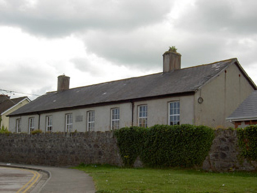 schoolschool · 393 yd
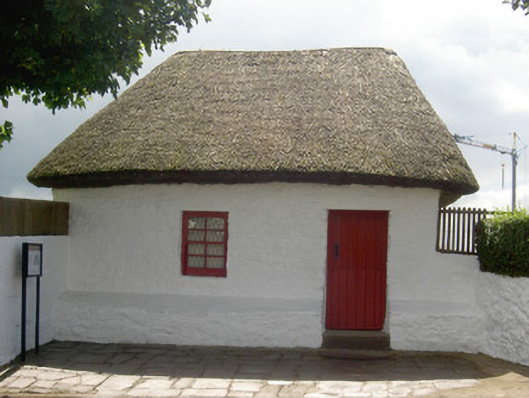 Bothán Scóirhouse · 485 yd
 Structure in CashelStructure · 808 yd
 Cashel Folk MusuemMuseum · 900 yd
 Black mulberryBlack mulberry · 938 yd
 Enclosure in WindmillEnclosure · 1114 yd
 The Rock Of CashelVisitor information · 1169 yd
 Cormac's ChapelHeritage attraction · 1221 yd
 Site of CastleCastle, unclassified · 1.7 mi
 Ballyknock HillMountain / peak · 1.7 mi
 Shanballyduff CastleCastle · 2.2 mi
 European ashEuropean ash · 5.3 mi