What is recorded here
Immediately N of the tower house (TS054-037002-), house (TS054-037003-) and bawn (TS054-037001-) there is a rectangular field of rock outcrop which is shown on the first ed. OS 6-inch map as a 'Fair Green'. In this field are the grass-covered wall-footings of at least four possible houses (TS054-037004-; TS054-037005-; TS054-037018- and TS054-037019-). Running through the field from the NE corner there is a linear feature which probably represents the remains of a roadway (Wth 3.4m; L 120m) which leads up to the N gateway of the bawn wall (TS054-037001-). The houses in this field appear to be built on either side of and to be respecting the roadway. To the E of the roadway are two large sub-circular enclosures (TS054-037007-; TS054-037007-) which may represent settlement plots.
Compiled by: Jean Farrelly
Date of upload: 26 August 2011
The monument record does not grant public access. Check the route and ask the landowner before entering private land.
- What survives
- Recorded monument
Places near here
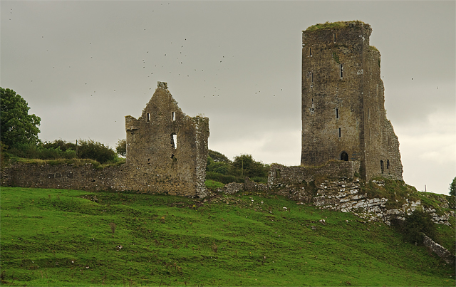 Bawn in GraystownBawn · 106 yd
 Castle (in ruins)Castle, tower house · 156 yd
 Graystown Church (in ruins)Church · 557 yd
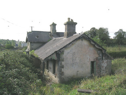 Laffansbridge Railway Stationrailway station · 950 yd
 Enclosure in Ballintogher (graystown Par.)Enclosure · 1105 yd
 RathmooleyFairy fort / earthen ringfort · 1739 yd
 Noan WoodWood · 1.8 mi
 Slieveardagh Heritage CentreVisitor information · 1.8 mi
 Gobban Saer's GraveArchaeological place · 2.4 mi
 Taylor's WoodWood · 2.6 mi
 Ballinure HillMountain / peak · 2.9 mi
 Derrynaflan TrailHeritage attraction · 3.3 mi