What is recorded here
Situated at the crest of a NE-facing slope. Archaeological testing (04E0916) by S. Delaney (2005) at Testing Area 11 of Contract 4 of the M3 motorway identified (excavations.ie 2004:1271) archaeological material that was fully excavated (E003145) in November and December 2006 by D. Bayley (2010) as Gardenrath 2 when just over 3200 square metres were opened and five phases of limited activity extending from the early Neolithic to the high medieval were recorded (excavations.ie 2007:1316). The features included a Neolithic structure, an early medieval kiln and a high medieval path or roadway.
A metalled surface (L c. 25m; Wth 2.15m; T 0.1m) set into a firm matrix of clay extends WNW-ESE across the excavated area above all the other features and c. 15m S of the Neolithic structure. Parallel ruts from wheels were noted. Although no artefacts are associated with it and it has no associated drains or banks, its surface is cut by NNE-SSW post-medieval furrows and the roadway is regarded as high medieval in date. (Bayley 2010, 20)
See the attached site plan adapted from Bayley (2010, fig. 5)
Compiled by: Michael Moore
Date of upload: 11 March 2022
The monument record does not grant public access. Check the route and ask the landowner before entering private land.
- What survives
- Recorded monument
Places near here
 Enclosure in Kilmainham (kells Upper By., Teltown Par.)Enclosure · 722 yd
 Long WoodWood · 1089 yd
 Enclosure in Headfort DemesneEnclosure · 1227 yd
 Furzy WoodWood · 1300 yd
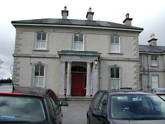 Eurekahouse · 1715 yd
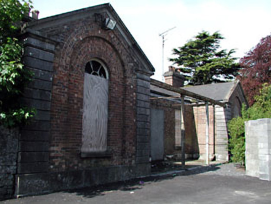 Kells Railway Stationrailway station · 1728 yd
 Saint John's CemeteryMemorial · 1.1 mi
 Castle ruinsCastle · 1.1 mi
 The Parnell GardenMemorial · 1.1 mi
 CastleCastle, motte · 1.4 mi
 BallybegMountain / peak · 2.0 mi
 BalreaskMountain / peak · 2.9 mi