What is recorded here
Described as a disused roadway (L c. 800m) on a Longfield map (NLI: Ms 21.F.43) dated 1818, and situated on an undulating landscape. According to the map it runs N-S following the townland boundary between Feamore and Lisbaun for much of its length, but it does not survive. A short stretch of a raised road (Wth 2.5m; H 1m) with an earthen bank (Wth 2.5m; H 0.4m) on its E side survives (L c. 100m) at its S end in Lisbaun, S of the WNW-ESE Curraghboy - Kiltoom road.
Compiled by: Michael Moore
Date of upload: 24 August 2010
The monument record does not grant public access. Check the route and ask the landowner before entering private land.
- What survives
- Recorded monument
Places near here
 Man-made underground passage in CarrowkeenyMan-made underground passage · 1232 yd
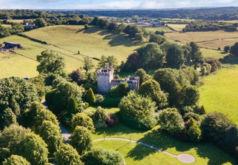
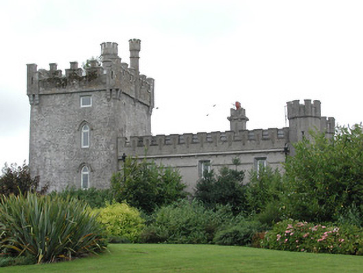 Moyvannan Castlecountry house · 1512 yd
 IndicatedFairy fort / earthen ringfort · 1.1 mi
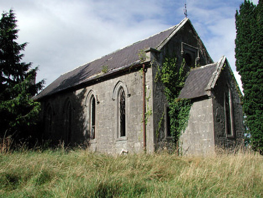 Saint Paul's Church (Kiltoom)church/chapel · 1.2 mi
 Curraghboy CastleCastle, unclassified · 2.1 mi
 Carnagh BayBay · 2.2 mi
 Bally BayBay · 2.2 mi
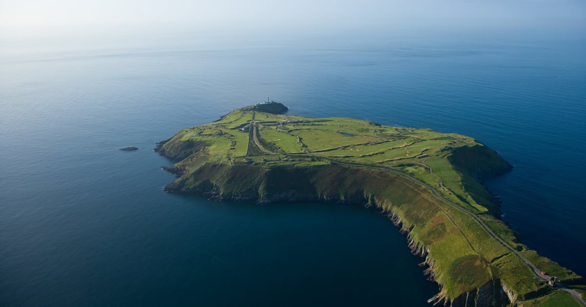 Sedgy IslandIslet · 2.2 mi
 Long IslandIslet · 2.3 mi
 CastlesampsonCastle, tower house · 4.0 mi
 Siege of Athlonesiege · 4.9 mi
 RindoonWood · 5.0 mi